Transport Functions
Port
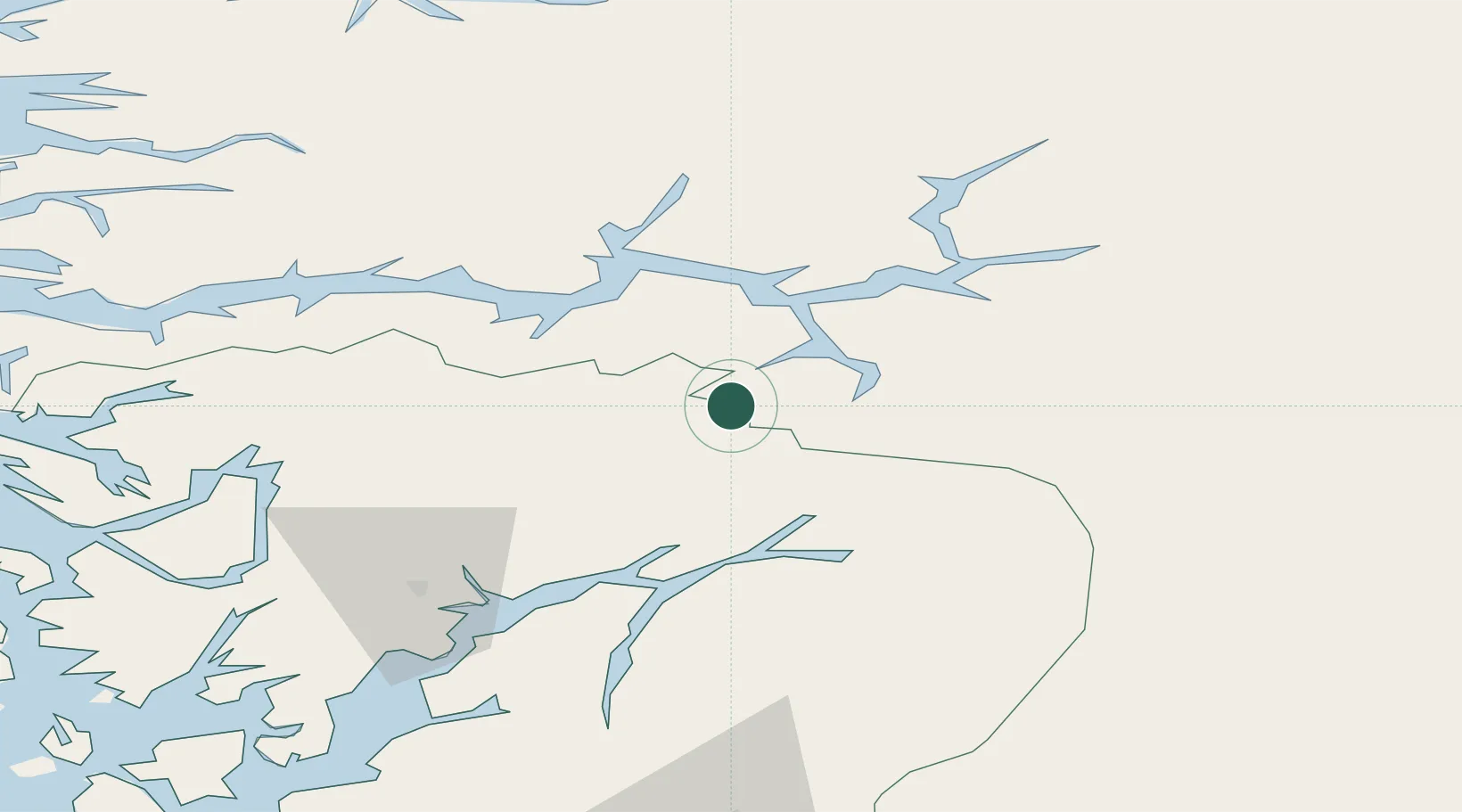
Hub Profile
Place type
Locality
Region
Vestland
Population
100
Time zone
Europe/Oslo
Elevation
40 m
Location
Nearby Logistics Neighbours
Cities
- 1Flåm16 km
- 2Aurland21 km
- 3Vik - Sogn29 km
- 4Arnafjord30 km
- 5Ulvik32 km
Ports
- 1Ardalstangen64 km
- 2Norheimsund65 km
- 3Vaksdal72 km
- 4Odda85 km
- 5Mongstad97 km
Airports
- 1Sogndal Airport, Haukåsen38 km
- 2Førde Airport, Bringeland83 km
- 3Bergen Airport, Flesland107 km
- 4Sandane Airport, Anda115 km
- 5Florø Airport126 km
Trade Zones
- 1Gothenburg Boundless Customs Warehouse450 km
- 2Jönköping Free Zone536 km
- 3Freeport of Copenhagen- Nordhavn663 km
- 4MTS Malmö Transport and Spedition689 km
- 5Freeport of Kiel751 km
DatabookThe Record of Consolidated Knowledge
Norway beyond logistics?