UN/LOCODE hub · Norway
NOVIS

Vik - Sogn

61.0833°, 6.5833°
2
Transport functions

Transport Functions

Port
Road
UN/LOCODE

Hub Profile

Region
14
GeoNames

Location

Location of NOVIS
Natural Earth 10m (public domain) · 14 · NOVIS · 61.08, 6.58GoogleOSMYandex

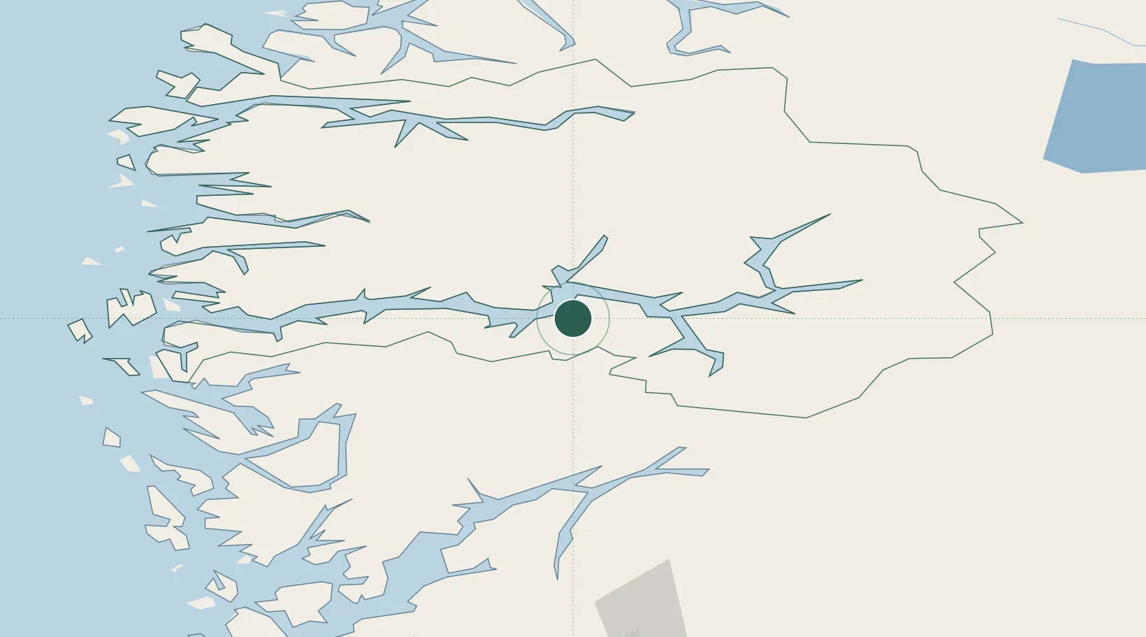
Nearby Logistics Neighbours

Cities
  1. 1Arnafjord13 km
  2. 2Balestrand13 km
  3. 3Hermansverk17 km
  4. 4Ortnevik24 km
  5. 5Gudvangen29 km
Nearest neighbours — logibook spatial index (haversine) over the source coordinates
Ports
  1. 1Ardalstangen62 km
  2. 2Vaksdal82 km
  3. 3Norheimsund83 km
  4. 4Mongstad88 km
  5. 5Floro101 km
Nearest neighbours — logibook spatial index (haversine) over the source coordinates
Airports
  1. 1Sogndal Airport, Haukåsen31 km
  2. 2Førde Airport, Bringeland56 km
  3. 3Sandane Airport, Anda87 km
  4. 4Florø Airport100 km
  5. 5Bergen Airport, Flesland115 km
Nearest neighbours — logibook spatial index (haversine) over the source coordinates
Trade Zones
  1. 1Gothenburg Boundless Customs Warehouse478 km
  2. 2Jönköping Free Zone562 km
  3. 3Freeport of Copenhagen- Nordhavn692 km
  4. 4MTS Malmö Transport and Spedition717 km
  5. 5Freeport of Kiel780 km
Nearest neighbours — logibook spatial index (haversine) over the source coordinates
DatabookThe Record of Consolidated Knowledge
Norway beyond logistics?
Browse databook

All Sources

LocationsUN/LOCODE
UN/LOCODE — free
Portsthe NGA World Port Index
Public domain (US gov)
AirportsOurAirports
Public domain
Trade Zonesthe World Bank SEZ database
CC BY 4.0
Trade ZonesOpen Zone Map
CC BY
← Norway locations