Transport Functions
Port
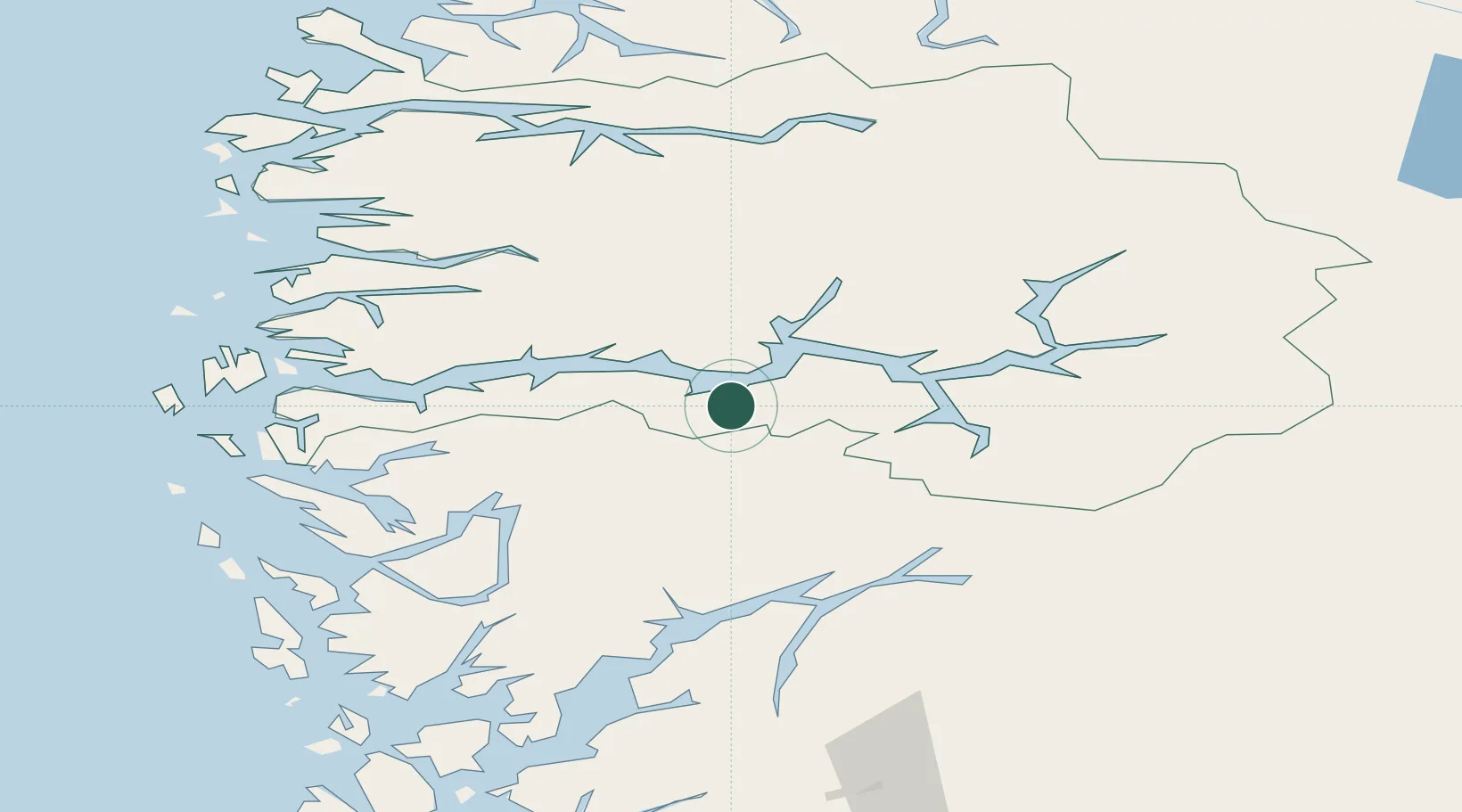
Hub Profile
Place type
Populated place
Region
Vestland
Time zone
Europe/Oslo
Elevation
1 m
Location
Nearby Logistics Neighbours
Cities
- 1Vik - Sogn13 km
- 2Ortnevik16 km
- 3Balestrand22 km
- 4Høyanger29 km
- 5Gudvangen30 km
Ports
- 1Vaksdal70 km
- 2Norheimsund73 km
- 3Ardalstangen75 km
- 4Mongstad76 km
- 5Bergen90 km
Airports
- 1Sogndal Airport, Haukåsen43 km
- 2Førde Airport, Bringeland54 km
- 3Sandane Airport, Anda92 km
- 4Florø Airport96 km
- 5Bergen Airport, Flesland103 km
Trade Zones
- 1Gothenburg Boundless Customs Warehouse479 km
- 2Jönköping Free Zone566 km
- 3Freeport of Copenhagen- Nordhavn692 km
- 4MTS Malmö Transport and Spedition717 km
- 5Freeport of Kiel776 km
DatabookThe Record of Consolidated Knowledge
Norway beyond logistics?