UN/LOCODE hub · Norway
NOFYS

Fjærland

61.4000°, 6.7333°
1
Transport functions

Transport Functions

Port
UN/LOCODE

Hub Profile

Region
14
GeoNames

Location

Location of NOFYS
Natural Earth 10m (public domain) · 14 · NOFYS · 61.40, 6.73GoogleOSMYandex

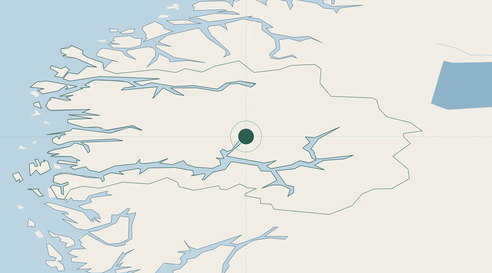
Nearby Logistics Neighbours

Cities
  1. 1Balestrand25 km
  2. 2Hermansverk25 km
  3. 3Sogndal28 km
  4. 4Gaupne30 km
  5. 5Vik - Sogn36 km
Nearest neighbours — logibook spatial index (haversine) over the source coordinates
Ports
  1. 1Ardalstangen55 km
  2. 2Floro93 km
  3. 3Orstav94 km
  4. 4Maloy104 km
  5. 5Mongstad111 km
Nearest neighbours — logibook spatial index (haversine) over the source coordinates
Airports
  1. 1Sogndal Airport, Haukåsen35 km
  2. 2Førde Airport, Bringeland52 km
  3. 3Sandane Airport, Anda58 km
  4. 4Florø Airport93 km
  5. 5Ørsta-Volda Airport, Hovden93 km
Nearest neighbours — logibook spatial index (haversine) over the source coordinates
Trade Zones
  1. 1Gothenburg Boundless Customs Warehouse500 km
  2. 2Jönköping Free Zone578 km
  3. 3Freeport of Copenhagen- Nordhavn717 km
  4. 4MTS Malmö Transport and Spedition742 km
  5. 5Freeport of Kiel811 km
Nearest neighbours — logibook spatial index (haversine) over the source coordinates
DatabookThe Record of Consolidated Knowledge
Norway beyond logistics?
Browse databook

All Sources

LocationsUN/LOCODE
UN/LOCODE — free
Portsthe NGA World Port Index
Public domain (US gov)
AirportsOurAirports
Public domain
Trade Zonesthe World Bank SEZ database
CC BY 4.0
Trade ZonesOpen Zone Map
CC BY
← Norway locations