Transport Functions
Port
Hub Profile
Place type
Provincial seat
Region
Vestland
Population
769
Time zone
Europe/Oslo
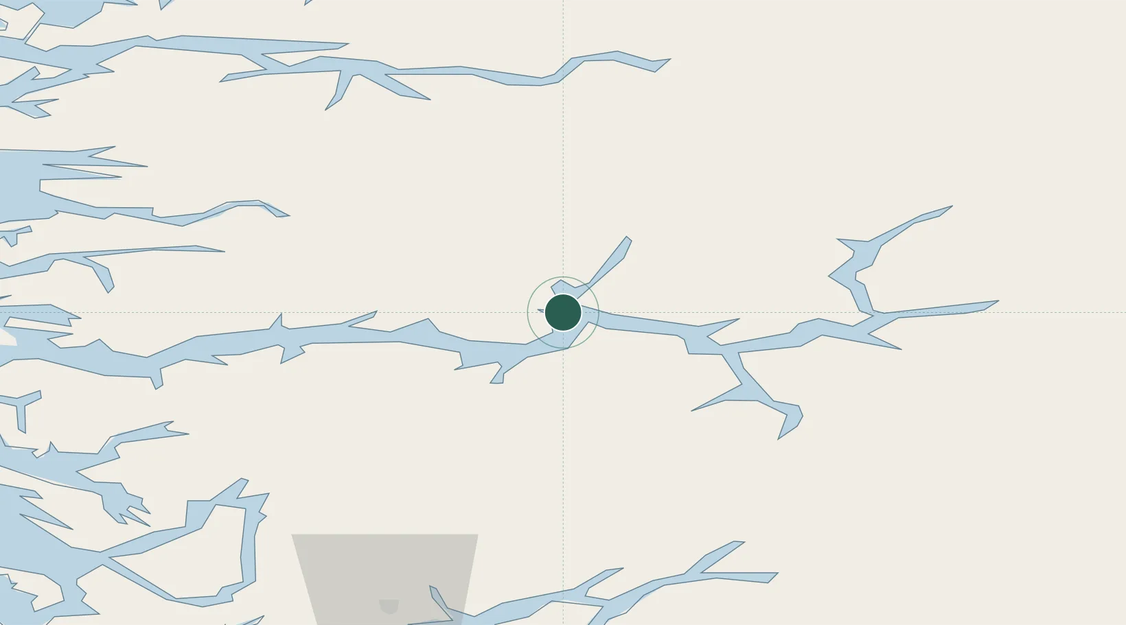
Location
Nearby Logistics Neighbours
Cities
- 1Vik - Sogn13 km
- 2Hermansverk16 km
- 3Arnafjord22 km
- 4Ortnevik24 km
- 5Fjærland25 km
Ports
- 1Ardalstangen63 km
- 2Mongstad91 km
- 3Vaksdal91 km
- 4Floro92 km
- 5Norheimsund95 km
Airports
- 1Sogndal Airport, Haukåsen33 km
- 2Førde Airport, Bringeland47 km
- 3Sandane Airport, Anda74 km
- 4Florø Airport91 km
- 5Ørsta-Volda Airport, Hovden112 km
Trade Zones
- 1Gothenburg Boundless Customs Warehouse490 km
- 2Jönköping Free Zone572 km
- 3Freeport of Copenhagen- Nordhavn704 km
- 4MTS Malmö Transport and Spedition729 km
- 5Freeport of Kiel793 km
DatabookThe Record of Consolidated Knowledge
Norway beyond logistics?