UN/LOCODE hub · Norway
NOSID

Sævareid

60.1833°, 5.7667°
1
Transport functions

Transport Functions

Port
UN/LOCODE

Hub Profile

Region
12
GeoNames

Location

Location of NOSID
Natural Earth 10m (public domain) · 12 · NOSID · 60.18, 5.77GoogleOSMYandex

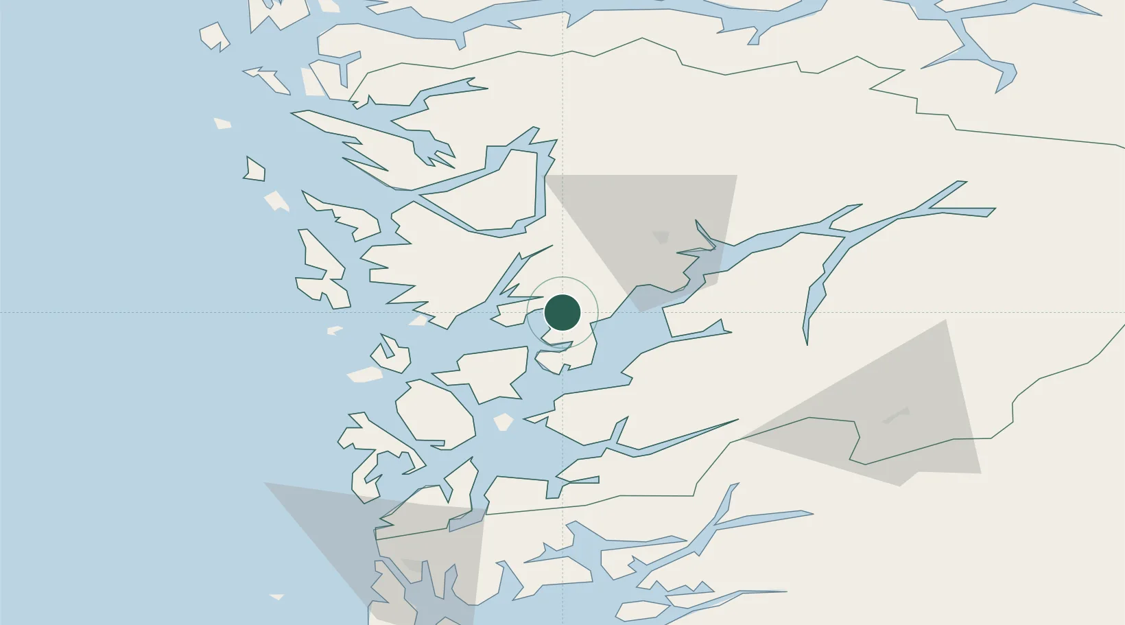
Nearby Logistics Neighbours

Cities
  1. 1Eikelandsosen6 km
  2. 2Fusa10 km
  3. 3Fjellstrand12 km
  4. 4Omastranda12 km
  5. 5Skipavik16 km
Nearest neighbours — logibook spatial index (haversine) over the source coordinates
Ports
  1. 1Norheimsund30 km
  2. 2Vaksdal33 km
  3. 3Haakonsvern34 km
  4. 4Husnes34 km
  5. 5Bergen36 km
Nearest neighbours — logibook spatial index (haversine) over the source coordinates
Airports
  1. 1Bergen Airport, Flesland33 km
  2. 2Stord Airport, Sørstokken50 km
  3. 3Haugesund Airport, Karmøy98 km
  4. 4Sogndal Airport, Haukåsen131 km
  5. 5Førde Airport, Bringeland134 km
Nearest neighbours — logibook spatial index (haversine) over the source coordinates
Trade Zones
  1. 1Gothenburg Boundless Customs Warehouse443 km
  2. 2Freeport of Copenhagen- Nordhavn639 km
  3. 3MTS Malmö Transport and Spedition668 km
  4. 4Freeport of Kiel702 km
  5. 5Freeport of Cuxhaven (Freihafen Cuxhaven)727 km
Nearest neighbours — logibook spatial index (haversine) over the source coordinates
DatabookThe Record of Consolidated Knowledge
Norway beyond logistics?
Browse databook

All Sources

LocationsUN/LOCODE
UN/LOCODE — free
Portsthe NGA World Port Index
Public domain (US gov)
AirportsOurAirports
Public domain
Trade Zonesthe World Bank SEZ database
CC BY 4.0
Trade ZonesOpen Zone Map
CC BY
← Norway locations