UN/LOCODE hub · Norway
NOFDE

Førde

61.4500°, 5.8333°
3
Transport functions

Transport Functions

Port
Road
Airport
UN/LOCODE

Hub Profile

Region
14
GeoNames

Location

Location of NOFDE
Natural Earth 10m (public domain) · 14 · NOFDE · 61.45, 5.83GoogleOSMYandex

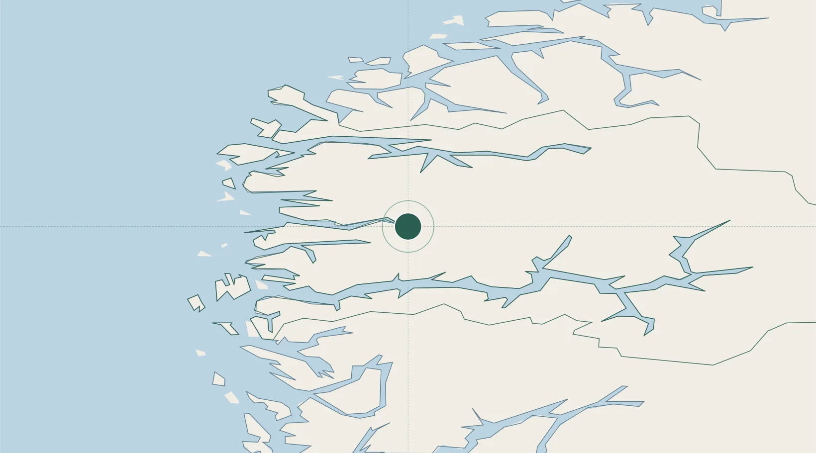
Nearby Logistics Neighbours

Cities
  1. 1Bygstad12 km
  2. 2Dale24 km
  3. 3Eikefjord25 km
  4. 4Vadheim28 km
  5. 5Høyanger28 km
Nearest neighbours — logibook spatial index (haversine) over the source coordinates
Ports
  1. 1Floro46 km
  2. 2Maloy66 km
  3. 3Mongstad81 km
  4. 4Orstav84 km
  5. 5Moldtustranda95 km
Nearest neighbours — logibook spatial index (haversine) over the source coordinates
Airports
  1. 1Førde Airport, Bringeland8 km
  2. 2Sandane Airport, Anda45 km
  3. 3Florø Airport45 km
  4. 4Sogndal Airport, Haukåsen77 km
  5. 5Ørsta-Volda Airport, Hovden82 km
Nearest neighbours — logibook spatial index (haversine) over the source coordinates
Trade Zones
  1. 1Gothenburg Boundless Customs Warehouse535 km
  2. 2Freeport of Copenhagen- Nordhavn748 km
  3. 3MTS Malmö Transport and Spedition774 km
  4. 4Freeport of Kiel831 km
  5. 5North Eastern Enterprise Zone842 km
Nearest neighbours — logibook spatial index (haversine) over the source coordinates
DatabookThe Record of Consolidated Knowledge
Norway beyond logistics?
Browse databook

All Sources

LocationsUN/LOCODE
UN/LOCODE — free
Portsthe NGA World Port Index
Public domain (US gov)
AirportsOurAirports
Public domain
Trade Zonesthe World Bank SEZ database
CC BY 4.0
Trade ZonesOpen Zone Map
CC BY
← Norway locations