Transport Functions
Port
Road
Hub Profile
Place type
Populated place
Region
Vestland
Time zone
Europe/Oslo
Elevation
60 m
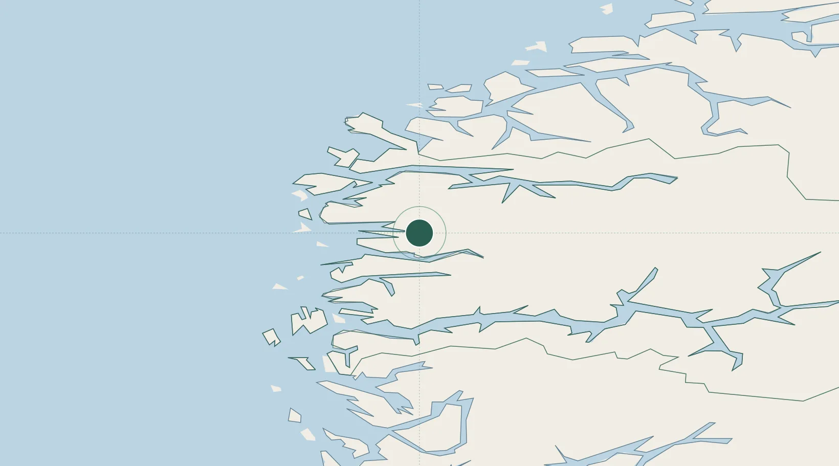
Location
Nearby Logistics Neighbours
Cities
- 1Botnaneset - Flora22 km
- 2Svelgen23 km
- 3Flora23 km
- 4Florø24 km
- 5Dale24 km
Ports
- 1Floro23 km
- 2Maloy43 km
- 3Orstav76 km
- 4Moldtustranda80 km
- 5Mongstad87 km
Airports
- 1Florø Airport23 km
- 2Førde Airport, Bringeland26 km
- 3Sandane Airport, Anda43 km
- 4Ørsta-Volda Airport, Hovden74 km
- 5Sogndal Airport, Haukåsen101 km
Trade Zones
DatabookThe Record of Consolidated Knowledge
Norway beyond logistics?