Transport Functions
Port
Road
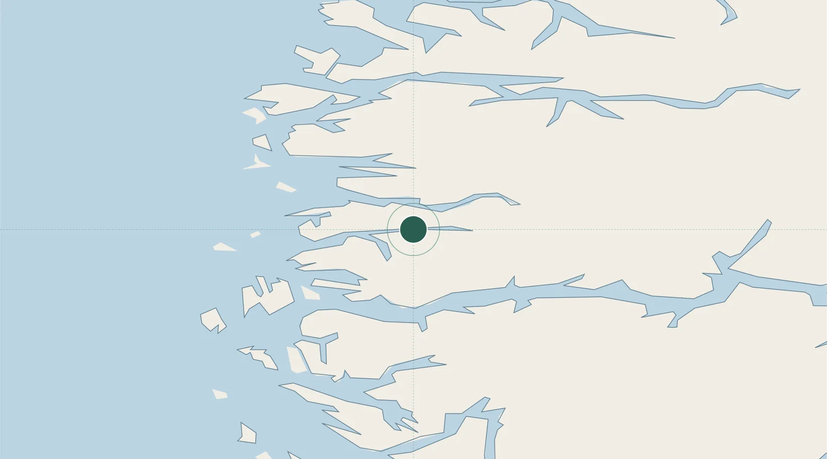
Hub Profile
Place type
Provincial seat
Region
Vestland
Population
1,186
Time zone
Europe/Oslo
Elevation
160 m
Location
Nearby Logistics Neighbours
Cities
- 1Bygstad13 km
- 2Hyllestad23 km
- 3Førde24 km
- 4Eikefjord24 km
- 5Lutelandet27 km
Airports
- 1Førde Airport, Bringeland18 km
- 2Florø Airport32 km
- 3Sandane Airport, Anda63 km
- 4Sogndal Airport, Haukåsen95 km
- 5Ørsta-Volda Airport, Hovden97 km
Trade Zones
DatabookThe Record of Consolidated Knowledge
Norway beyond logistics?