Transport Functions
Port
Road
Hub Profile
Place type
Populated place
Region
Akershus
Population
832
Time zone
Europe/Oslo
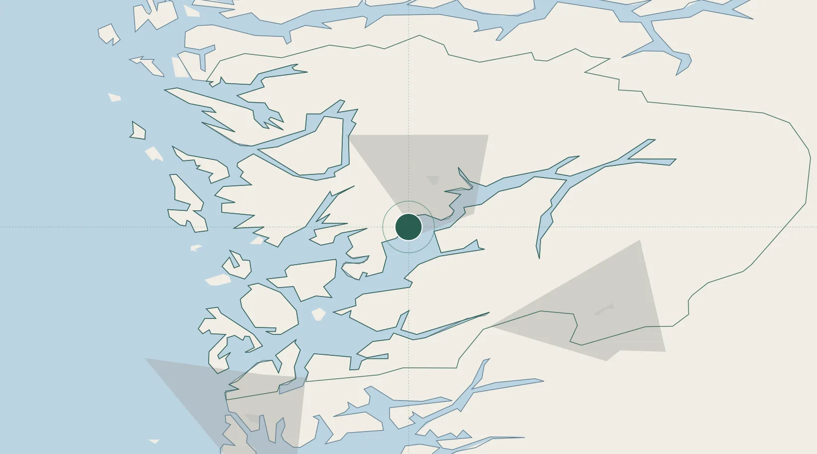
Location
Nearby Logistics Neighbours
Cities
- 1Omastranda0 km
- 2Sævareid12 km
- 3Eikelandsosen12 km
- 4Jondal16 km
- 5Norheimsund19 km
Ports
- 1Norheimsund20 km
- 2Vaksdal32 km
- 3Odda35 km
- 4Husnes39 km
- 5Bergen42 km
Airports
- 1Bergen Airport, Flesland42 km
- 2Stord Airport, Sørstokken59 km
- 3Haugesund Airport, Karmøy106 km
- 4Sogndal Airport, Haukåsen122 km
- 5Førde Airport, Bringeland131 km
Trade Zones
DatabookThe Record of Consolidated Knowledge
Norway beyond logistics?