UN/LOCODE hub · Norway
NOBVR

Breiviga

59.0833°, 5.9000°
1
Transport functions

Transport Functions

Port
UN/LOCODE

Hub Profile

Region
11
GeoNames

Location

Location of NOBVR
Natural Earth 10m (public domain) · 11 · NOBVR · 59.08, 5.90GoogleOSMYandex

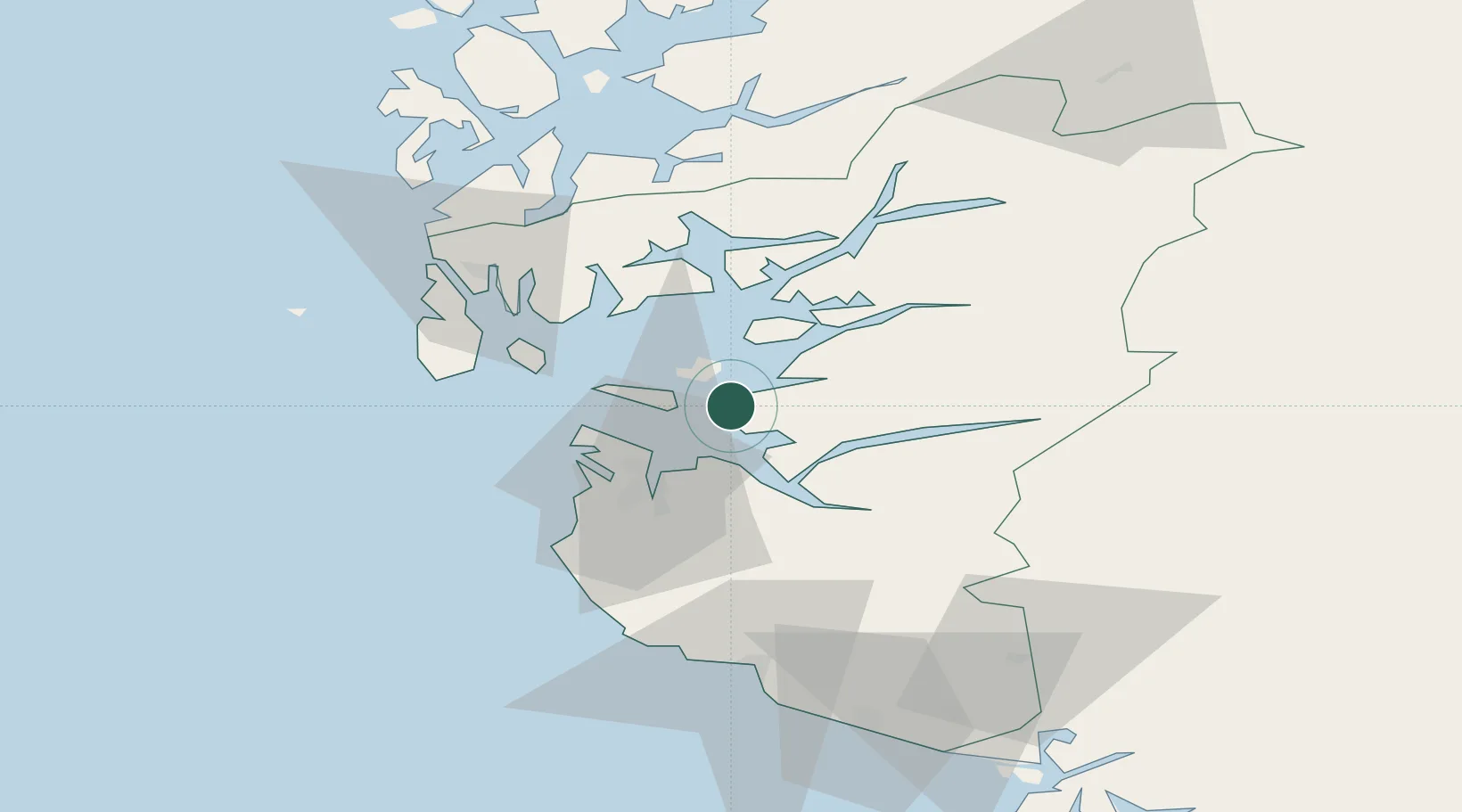
Nearby Logistics Neighbours

Cities
  1. 1Tau4 km
  2. 2Finnøy11 km
  3. 3Rennesøy12 km
  4. 4Steinvig14 km
  5. 5Årdal - Hjelmeland17 km
Nearest neighbours — logibook spatial index (haversine) over the source coordinates
Ports
  1. 1Stavanger16 km
  2. 2Sandnes25 km
  3. 3Tananger25 km
  4. 4Karsto30 km
  5. 5Skudeneshavn37 km
Nearest neighbours — logibook spatial index (haversine) over the source coordinates
Airports
  1. 1Stavanger Airport, Sola28 km
  2. 2Haugesund Airport, Karmøy49 km
  3. 3Stord Airport, Sørstokken85 km
  4. 4Bergen Airport, Flesland140 km
  5. 5Kristiansand Airport160 km
Nearest neighbours — logibook spatial index (haversine) over the source coordinates
Trade Zones
  1. 1Gothenburg Boundless Customs Warehouse377 km
  2. 2Freeport of Kiel589 km
  3. 3Freeport of Cuxhaven (Freihafen Cuxhaven)607 km
  4. 4Freeport of Emden644 km
  5. 5North Eastern Enterprise Zone645 km
Nearest neighbours — logibook spatial index (haversine) over the source coordinates
DatabookThe Record of Consolidated Knowledge
Norway beyond logistics?
Browse databook

All Sources

LocationsUN/LOCODE
UN/LOCODE — free
Portsthe NGA World Port Index
Public domain (US gov)
AirportsOurAirports
Public domain
Trade Zonesthe World Bank SEZ database
CC BY 4.0
Trade ZonesOpen Zone Map
CC BY
← Norway locations