UN/LOCODE hub · Norway
NOREN

Rennesøy

59.0833°, 5.6833°
1
Transport functions

Transport Functions

Port
UN/LOCODE

Hub Profile

Region
11
GeoNames

Location

Location of NOREN
Natural Earth 10m (public domain) · 11 · NOREN · 59.08, 5.68GoogleOSMYandex

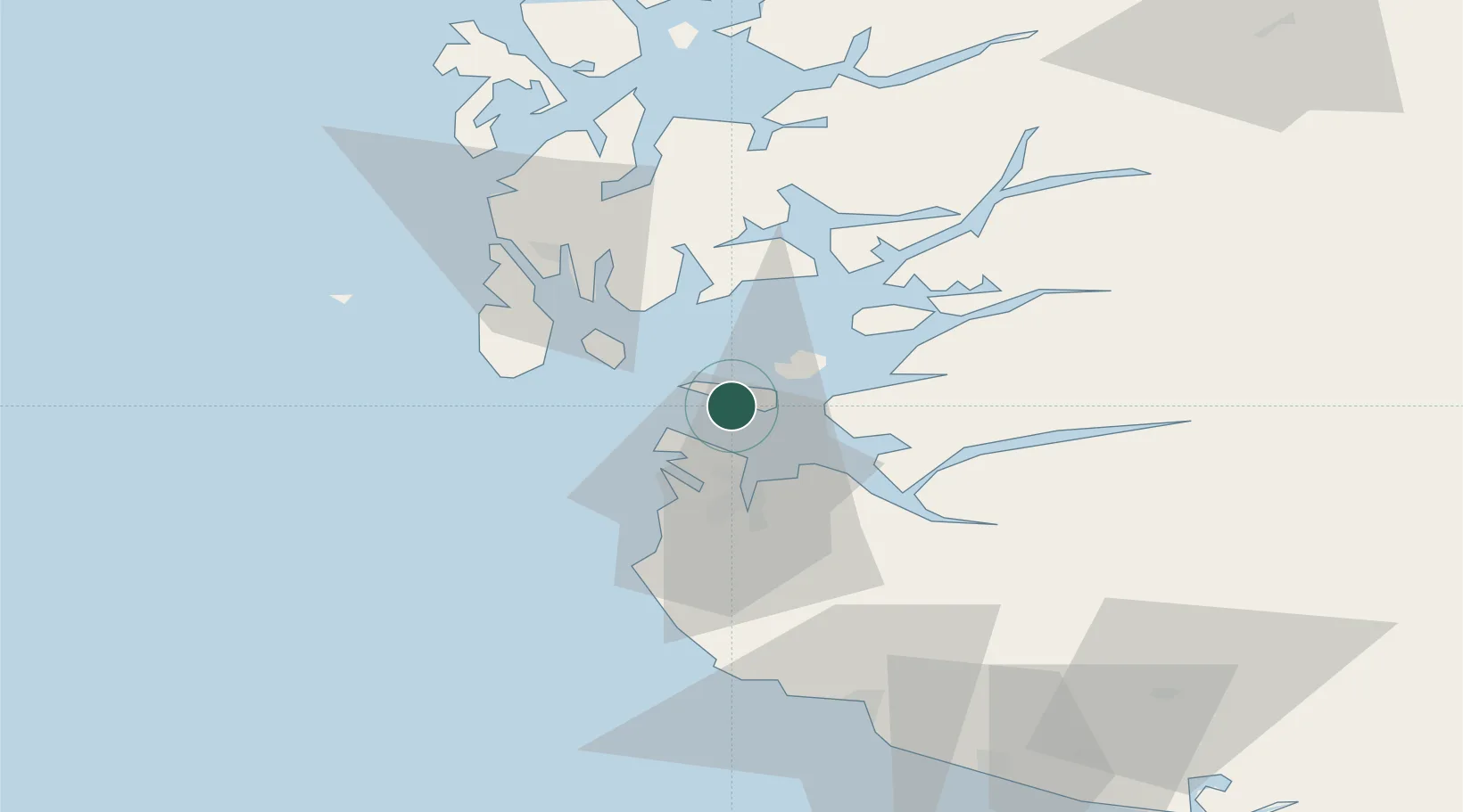
Nearby Logistics Neighbours

Cities
  1. 1Dusavik10 km
  2. 2Randaberg10 km
  3. 3Finnøy11 km
  4. 4Breiviga12 km
  5. 5Tau13 km
Nearest neighbours — logibook spatial index (haversine) over the source coordinates
Ports
  1. 1Stavanger14 km
  2. 2Tananger18 km
  3. 3Karsto23 km
  4. 4Sandnes24 km
  5. 5Skudeneshavn25 km
Nearest neighbours — logibook spatial index (haversine) over the source coordinates
Airports
  1. 1Stavanger Airport, Sola23 km
  2. 2Haugesund Airport, Karmøy40 km
  3. 3Stord Airport, Sørstokken81 km
  4. 4Bergen Airport, Flesland137 km
  5. 5Kristiansand Airport170 km
Nearest neighbours — logibook spatial index (haversine) over the source coordinates
Trade Zones
  1. 1Gothenburg Boundless Customs Warehouse388 km
  2. 2Freeport of Kiel595 km
  3. 3Freeport of Cuxhaven (Freihafen Cuxhaven)611 km
  4. 4North Eastern Enterprise Zone636 km
  5. 5Freeport of Emden646 km
Nearest neighbours — logibook spatial index (haversine) over the source coordinates
DatabookThe Record of Consolidated Knowledge
Norway beyond logistics?
Browse databook

All Sources

LocationsUN/LOCODE
UN/LOCODE — free
Portsthe NGA World Port Index
Public domain (US gov)
AirportsOurAirports
Public domain
Trade Zonesthe World Bank SEZ database
CC BY 4.0
Trade ZonesOpen Zone Map
CC BY
← Norway locations