Transport Functions
Port
Road
Hub Profile
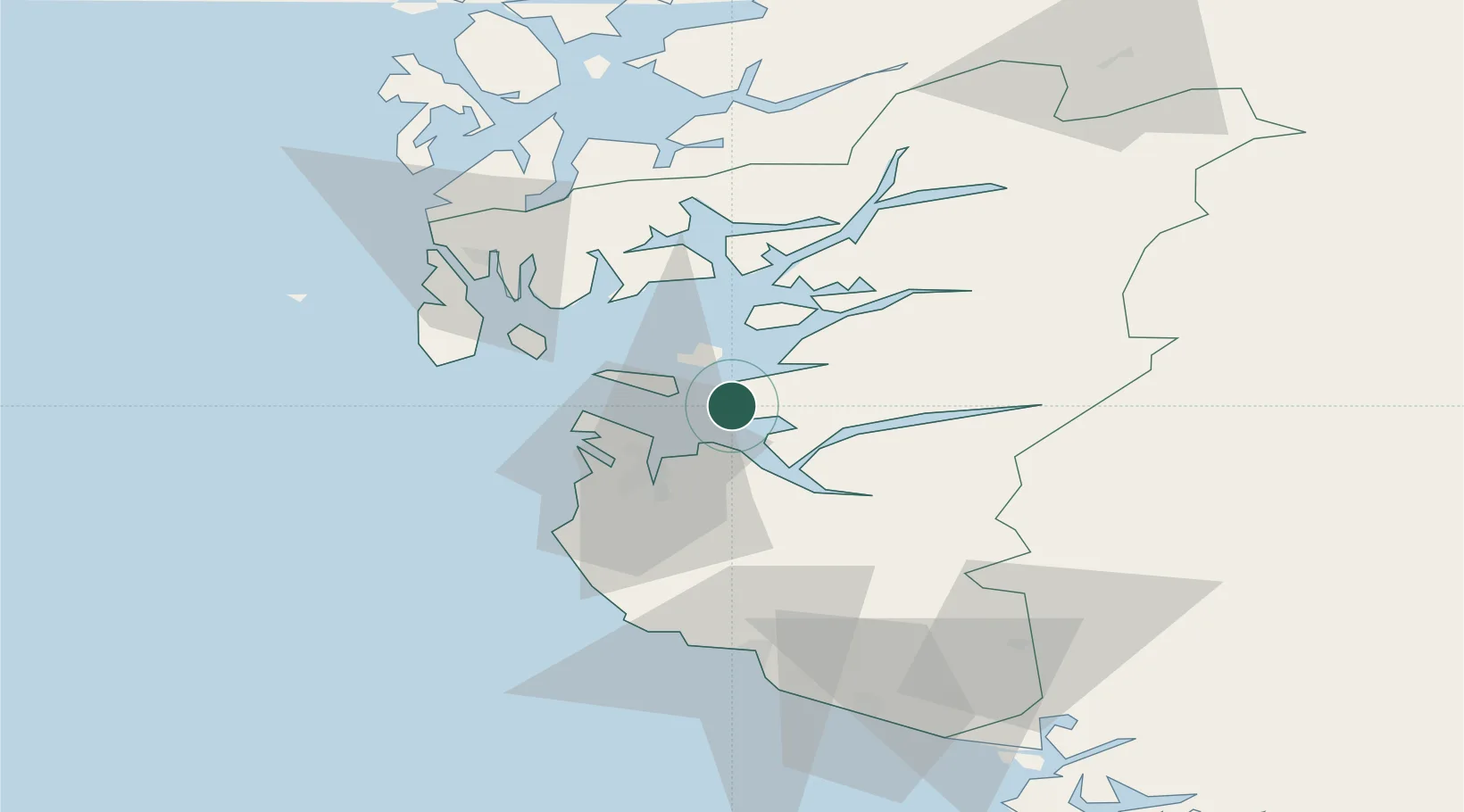
Place type
Populated place
Region
Rogaland
Population
3,212
Time zone
Europe/Oslo
Elevation
26 m
Location
Nearby Logistics Neighbours
Ports
- 1Stavanger13 km
- 2Sandnes21 km
- 3Tananger23 km
- 4Karsto33 km
- 5Skudeneshavn38 km
Airports
- 1Stavanger Airport, Sola24 km
- 2Haugesund Airport, Karmøy51 km
- 3Stord Airport, Sørstokken88 km
- 4Bergen Airport, Flesland144 km
- 5Kristiansand Airport158 km
Trade Zones
DatabookThe Record of Consolidated Knowledge
Norway beyond logistics?