UN/LOCODE hub · Norway
NOARH

Årdal - Hjelmeland

59.1500°, 6.1667°
1
Transport functions

Transport Functions

Port
UN/LOCODE

Hub Profile

Region
11
GeoNames

Location

Location of NOARH
Natural Earth 10m (public domain) · 11 · NOARH · 59.15, 6.17GoogleOSMYandex

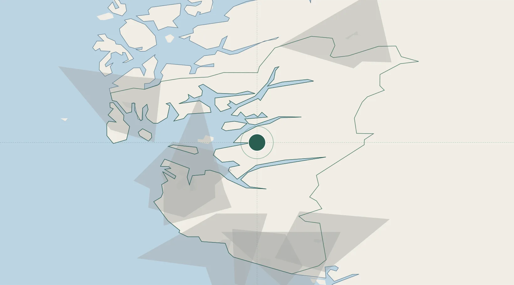
Nearby Logistics Neighbours

Cities
  1. 1Hjelmeland9 km
  2. 2Ombo13 km
  3. 3Skiftun15 km
  4. 4Breiviga17 km
  5. 5Tau19 km
Nearest neighbours — logibook spatial index (haversine) over the source coordinates
Ports
  1. 1Stavanger31 km
  2. 2Sandnes39 km
  3. 3Karsto39 km
  4. 4Tananger42 km
  5. 5Kopervik51 km
Nearest neighbours — logibook spatial index (haversine) over the source coordinates
Airports
  1. 1Stavanger Airport, Sola43 km
  2. 2Haugesund Airport, Karmøy59 km
  3. 3Stord Airport, Sørstokken85 km
  4. 4Bergen Airport, Flesland138 km
  5. 5Kristiansand Airport153 km
Nearest neighbours — logibook spatial index (haversine) over the source coordinates
Trade Zones
  1. 1Gothenburg Boundless Customs Warehouse366 km
  2. 2Jönköping Free Zone486 km
  3. 3Freeport of Copenhagen- Nordhavn542 km
  4. 4MTS Malmö Transport and Spedition572 km
  5. 5Freeport of Kiel588 km
Nearest neighbours — logibook spatial index (haversine) over the source coordinates
DatabookThe Record of Consolidated Knowledge
Norway beyond logistics?
Browse databook

All Sources

LocationsUN/LOCODE
UN/LOCODE — free
Portsthe NGA World Port Index
Public domain (US gov)
AirportsOurAirports
Public domain
Trade Zonesthe World Bank SEZ database
CC BY 4.0
Trade ZonesOpen Zone Map
CC BY
← Norway locations