Transport Functions
Port
Hub Profile
Place type
Urban district
Region
Trøndelag
Time zone
Europe/Oslo
Elevation
27 m
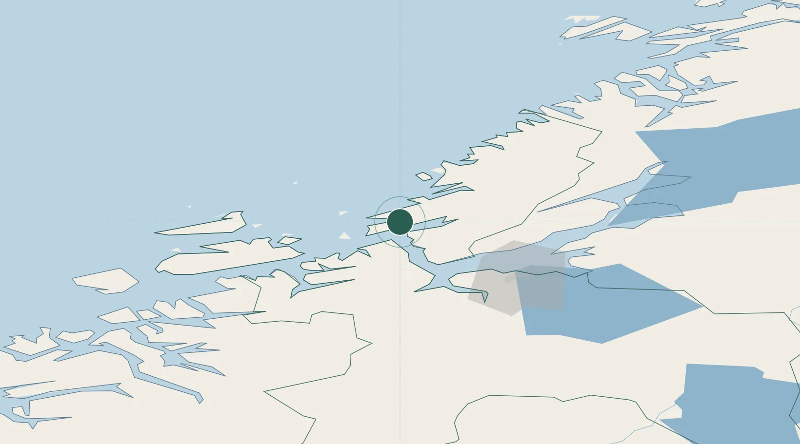
Location
Nearby Logistics Neighbours
Cities
- 1Brekstad8 km
- 2Uthaug8 km
- 3Valsneset9 km
- 4Vallersund11 km
- 5Stavneset - Rissa11 km
Ports
- 1Trondheim47 km
- 2Langstein61 km
- 3Hommelvik64 km
- 4Muruvik64 km
- 5Fiborgtangen69 km
Airports
- 1Ørland Airport9 km
- 2Trondheim Airport, Værnes67 km
- 3Kristiansund Airport, Kvernberget119 km
- 4Namsos Airport120 km
- 5Rørvik Airport, Ryum139 km
Trade Zones
DatabookThe Record of Consolidated Knowledge
Norway beyond logistics?