UN/LOCODE hub · Norway
NOVAE

Valsneset

63.8167°, 9.6333°
1
Transport functions

Transport Functions

Port
UN/LOCODE

Hub Profile

Region
16
GeoNames

Location

Location of NOVAE
Natural Earth 10m (public domain) · 16 · NOVAE · 63.82, 9.63GoogleOSMYandex

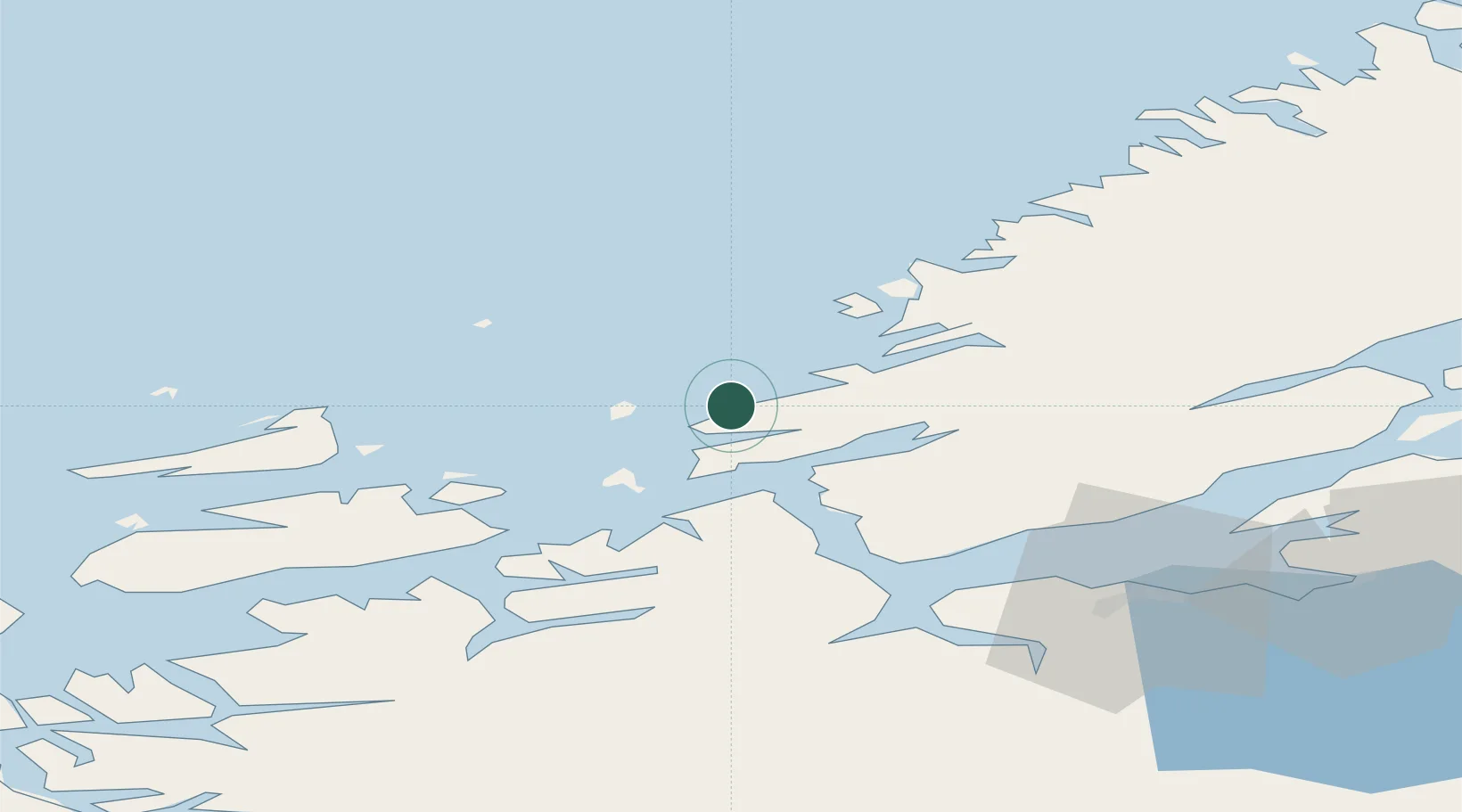
Nearby Logistics Neighbours

Cities
  1. 1Vallersund7 km
  2. 2Bjugn9 km
  3. 3Uthaug11 km
  4. 4Lysøysund14 km
  5. 5Brekstad15 km
Nearest neighbours — logibook spatial index (haversine) over the source coordinates
Ports
  1. 1Trondheim56 km
  2. 2Langstein69 km
  3. 3Muruvik73 km
  4. 4Hommelvik73 km
  5. 5Fiborgtangen75 km
Nearest neighbours — logibook spatial index (haversine) over the source coordinates
Airports
  1. 1Ørland Airport13 km
  2. 2Trondheim Airport, Værnes75 km
  3. 3Namsos Airport119 km
  4. 4Kristiansund Airport, Kvernberget119 km
  5. 5Rørvik Airport, Ryum135 km
Nearest neighbours — logibook spatial index (haversine) over the source coordinates
Trade Zones
  1. 1Stockholm Free Zone668 km
  2. 2Gothenburg Boundless Customs Warehouse690 km
  3. 3Jönköping Free Zone715 km
  4. 4Freeport of Copenhagen- Nordhavn916 km
  5. 5MTS Malmö Transport and Spedition933 km
Nearest neighbours — logibook spatial index (haversine) over the source coordinates
DatabookThe Record of Consolidated Knowledge
Norway beyond logistics?
Browse databook

All Sources

LocationsUN/LOCODE
UN/LOCODE — free
Portsthe NGA World Port Index
Public domain (US gov)
AirportsOurAirports
Public domain
Trade Zonesthe World Bank SEZ database
CC BY 4.0
Trade ZonesOpen Zone Map
CC BY
← Norway locations