Transport Functions
Multimodal
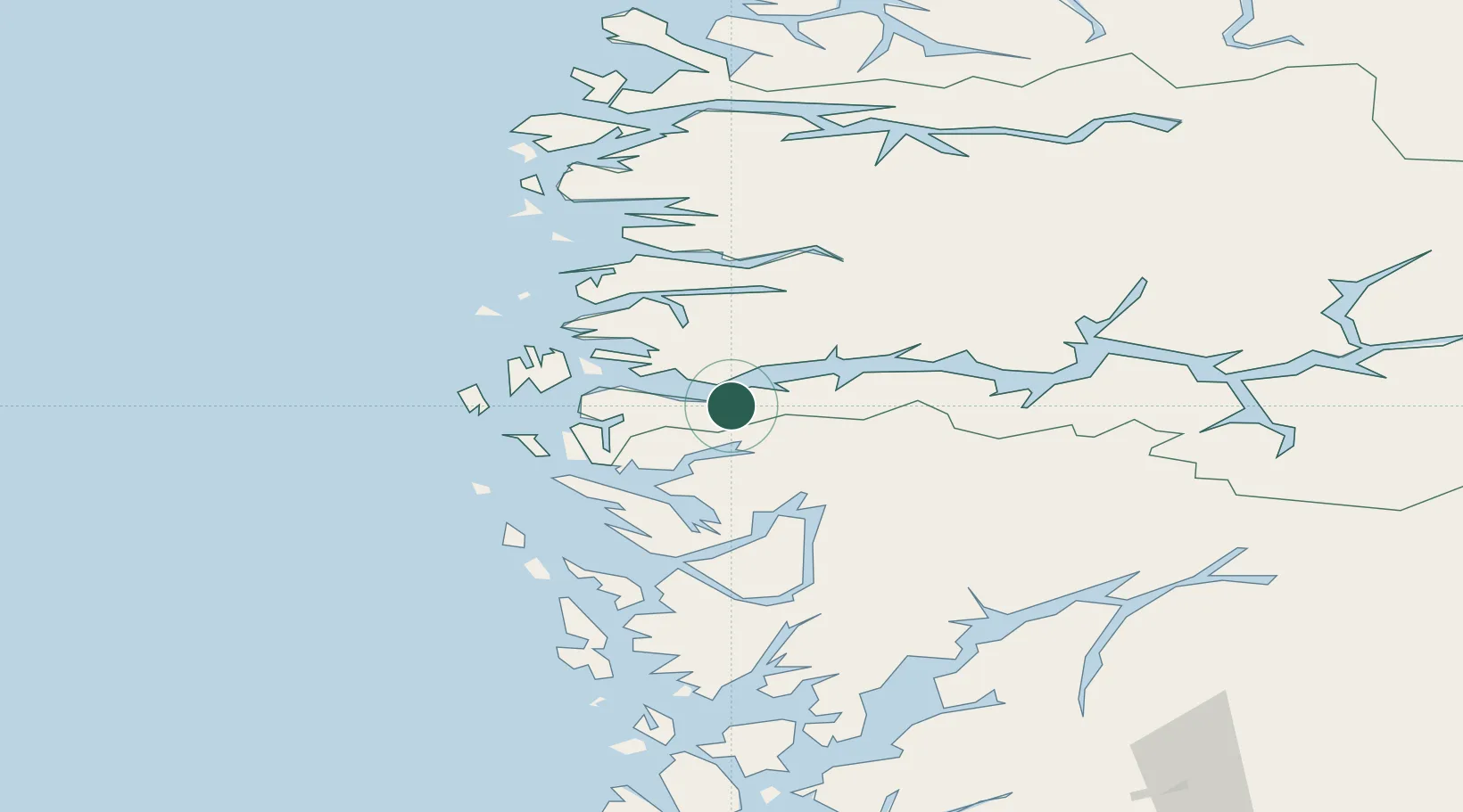
Hub Profile
Place type
Populated place
Region
Vestland
Time zone
Europe/Oslo
Elevation
1 m
Location
Nearby Logistics Neighbours
Cities
- 1Leirvik i Hyllestad13 km
- 2Rutledal15 km
- 3Matre - Masfjorden16 km
- 4Listraumen19 km
- 5Hyllestad19 km
Airports
- 1Førde Airport, Bringeland44 km
- 2Florø Airport67 km
- 3Bergen Airport, Flesland82 km
- 4Sogndal Airport, Haukåsen91 km
- 5Sandane Airport, Anda97 km
Trade Zones
DatabookThe Record of Consolidated Knowledge
Norway beyond logistics?