UN/LOCODE hub · Norway
NOMAT

Matre - Masfjorden

60.8833°, 5.5667°
1
Transport functions

Transport Functions

Port
UN/LOCODE

Hub Profile

Region
12
GeoNames

Location

Location of NOMAT
Natural Earth 10m (public domain) · 12 · NOMAT · 60.88, 5.57GoogleOSMYandex

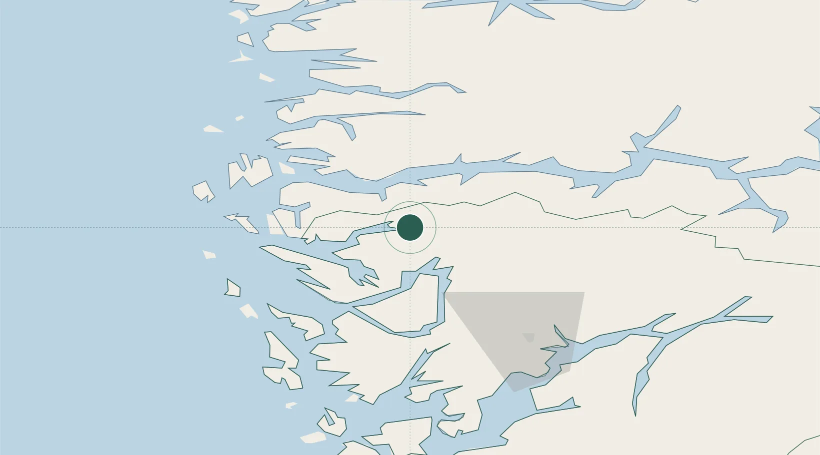
Nearby Logistics Neighbours

Cities
  1. 1Brekke16 km
  2. 2Eikefet20 km
  3. 3Eidslandet22 km
  4. 4Bjordal27 km
  5. 5Sløvåg27 km
Nearest neighbours — logibook spatial index (haversine) over the source coordinates
Ports
  1. 1Mongstad29 km
  2. 2Vaksdal46 km
  3. 3Stura48 km
  4. 4Bergen55 km
  5. 5Brattholmen63 km
Nearest neighbours — logibook spatial index (haversine) over the source coordinates
Airports
  1. 1Førde Airport, Bringeland57 km
  2. 2Bergen Airport, Flesland68 km
  3. 3Florø Airport83 km
  4. 4Sogndal Airport, Haukåsen90 km
  5. 5Sandane Airport, Anda109 km
Nearest neighbours — logibook spatial index (haversine) over the source coordinates
Trade Zones
  1. 1Gothenburg Boundless Customs Warehouse500 km
  2. 2Freeport of Copenhagen- Nordhavn706 km
  3. 3MTS Malmö Transport and Spedition733 km
  4. 4Freeport of Kiel778 km
  5. 5North Eastern Enterprise Zone782 km
Nearest neighbours — logibook spatial index (haversine) over the source coordinates
DatabookThe Record of Consolidated Knowledge
Norway beyond logistics?
Browse databook

All Sources

LocationsUN/LOCODE
UN/LOCODE — free
Portsthe NGA World Port Index
Public domain (US gov)
AirportsOurAirports
Public domain
Trade Zonesthe World Bank SEZ database
CC BY 4.0
Trade ZonesOpen Zone Map
CC BY
← Norway locations