UN/LOCODE hub · Norway
NOMID

Midsund

62.6667°, 6.6667°
468
Population
1
Transport functions

Transport Functions

Port
UN/LOCODE

Hub Profile

Place type
Provincial seat
GeoNames
Region
Møre og Romsdal
GeoNames
Population
468
GeoNames
Time zone
Europe/Oslo
GeoNames

Location

Location of NOMID
Natural Earth 10m (public domain) · Møre og Romsdal · NOMID · 62.67, 6.67GoogleOSMYandex

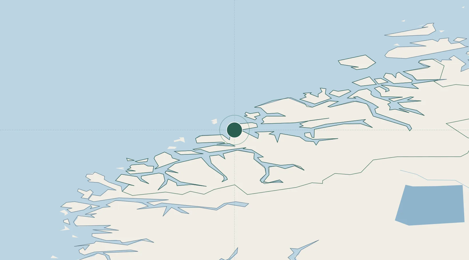
Nearby Logistics Neighbours

Cities
  1. 1Brattvåg14 km
  2. 2Tomrefjord16 km
  3. 3Steinshamn16 km
  4. 4Håeimsvika21 km
  5. 5Aukra21 km
Nearest neighbours — logibook spatial index (haversine) over the source coordinates
Ports
  1. 1Molde27 km
  2. 2Haroysund29 km
  3. 3Alesund34 km
  4. 4Hareid46 km
  5. 5Andalsnes53 km
Nearest neighbours — logibook spatial index (haversine) over the source coordinates
Airports
  1. 1Ålesund Airport31 km
  2. 2Molde Airport, Årø32 km
  3. 3Ørsta-Volda Airport, Hovden62 km
  4. 4Kristiansund Airport, Kvernberget77 km
  5. 5Sandane Airport, Anda98 km
Nearest neighbours — logibook spatial index (haversine) over the source coordinates
Trade Zones
  1. 1Gothenburg Boundless Customs Warehouse620 km
  2. 2Jönköping Free Zone681 km
  3. 3Freeport of Copenhagen- Nordhavn843 km
  4. 4MTS Malmö Transport and Spedition866 km
  5. 5Freeport of Kiel948 km
Nearest neighbours — logibook spatial index (haversine) over the source coordinates
DatabookThe Record of Consolidated Knowledge
Norway beyond logistics?
Browse databook

All Sources

LocationsUN/LOCODE
UN/LOCODE — free
LocationsGeoNames
CC BY 4.0
Portsthe NGA World Port Index
Public domain (US gov)
AirportsOurAirports
Public domain
Trade Zonesthe World Bank SEZ database
CC BY 4.0
Trade ZonesOpen Zone Map
CC BY
← Norway locations