UN/LOCODE hub · Netherlands
NLSRD
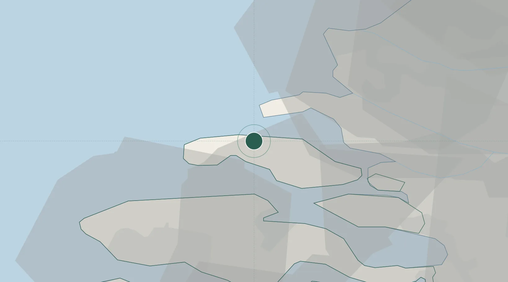
Scharendijke
51.7333°, 3.8500°
1,105
Population
2
Transport functions
Transport Functions
Port
Road
Hub Profile
Place type
Populated place
Region
Zeeland
Population
1,105
Time zone
Europe/Amsterdam
Elevation
1 m
Location
Nearby Logistics Neighbours
Cities
- 1Noordwelle4 km
- 2Nieuwerkerke5 km
- 3Renesse6 km
- 4Burgh Haamstede9 km
- 5Burghsluis9 km
Ports
- 1Europoort30 km
- 2Hoek Van Holland31 km
- 3Hansweert33 km
- 4Maassluis34 km
- 5Vlissingen36 km
Airports
Trade Zones
- 1ZFU Tourcoing122 km
- 2ZFU Hem et Roubaix126 km
- 3ZFU Saint Pol sur Mer131 km
- 4ZFU de Lille et de Loos136 km
- 5ZFU Condé sur lEscaut142 km
DatabookThe Record of Consolidated Knowledge
Netherlands beyond logistics?