Transport Functions
Port
Road
Hub Profile
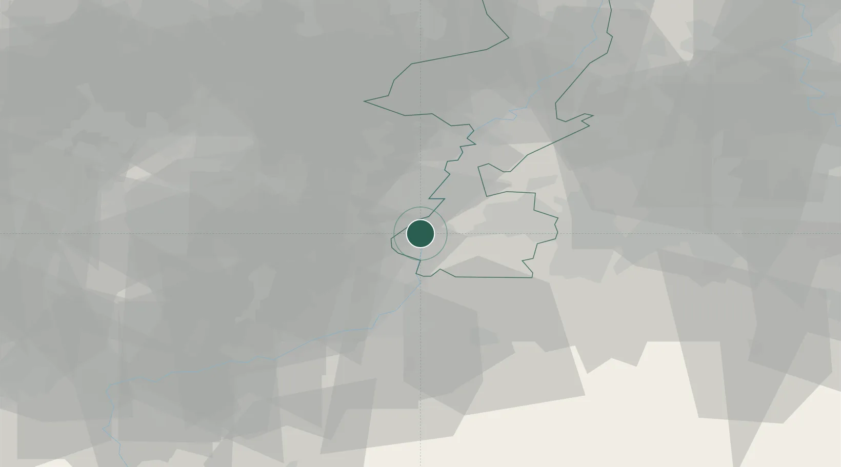
Place type
Urban district
Region
Limburg
Population
2,370
Time zone
Europe/Amsterdam
Elevation
47 m
Location
Nearby Logistics Neighbours
Cities
- 1Bunde3 km
- 2Itteren4 km
- 3Tournebride4 km
- 4Lanaken4 km
- 5Meerssen4 km
Airports
- 1Maastricht Aachen Airport7 km
- 2Geilenkirchen Air Base26 km
- 3Liège Airport31 km
- 4Kleine Brogel Air Base37 km
- 5Kempen Airport Budel44 km
Trade Zones
- 1Rheinische Revier SWZ48 km
- 2Freeport of Duisburg89 km
- 3Luxembourg Free Port141 km
- 4ZFU Maubeuge, Louvroil142 km
- 5ZFU Ronde Couture143 km
DatabookThe Record of Consolidated Knowledge
Netherlands beyond logistics?