Transport Functions
Port
Road
Hub Profile
Place type
Populated place
Region
Groningen
Population
1,675
Time zone
Europe/Amsterdam
Elevation
1 m
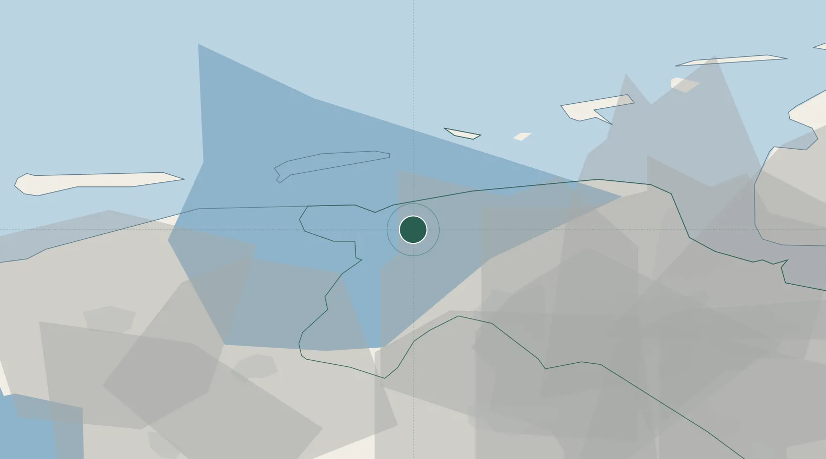
Location
Nearby Logistics Neighbours
Cities
- 1Wehe-den Hoorn2 km
- 2Warfhuizen4 km
- 3Schouwerzijl6 km
- 4Mensingeweer6 km
- 5Maarhuizen8 km
Airports
- 1Groningen Airport Eelde30 km
- 2Borkum Airport33 km
- 3Leeuwarden Air Base44 km
- 4Emden Airport56 km
- 5Juist Airport57 km
Trade Zones
DatabookThe Record of Consolidated Knowledge
Netherlands beyond logistics?