Transport Functions
Port
Road
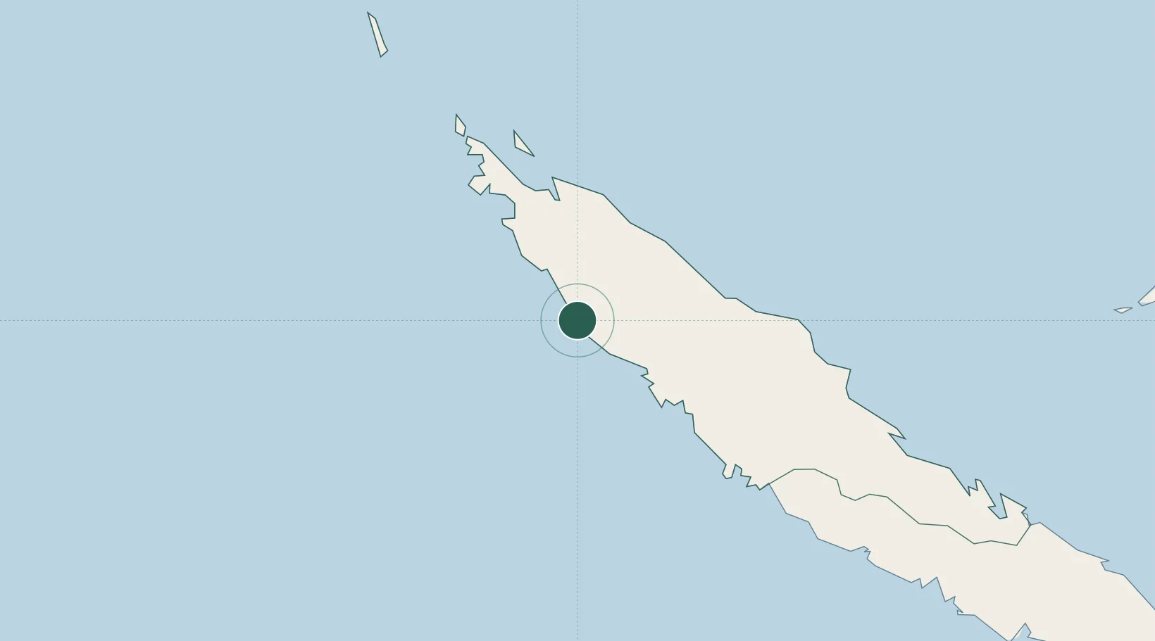
Location
Nearby Logistics Neighbours
Cities
- 1Paagoumène38 km
- 2Vavouto38 km
- 3Népoui87 km
- 4Wala141 km
- 5Bourail143 km
Ports
- 1Baie Ugue127 km
- 2Baie De Kouaoua162 km
- 3Noumea270 km
- 4Port Vila532 km
- 5Luganville653 km
Airports
- 1Koumac Airport29 km
- 2Koné Airport56 km
- 3Touho Airport89 km
- 4Île Art - Waala Airport140 km
- 5Ouvéa Airport227 km
Trade Zones
- 1Vanuatu Economic Development Zone654 km
- 2Tulagi Island Special Economic Zone1375 km
- 3Lautoka Special Zone1412 km
- 4Rotuma-Kadavu Tax-Free Region1498 km
- 5Kalabu Tax Free Zone1506 km
DatabookThe Record of Consolidated Knowledge
New Caledonia beyond logistics?