Transport Functions
Port
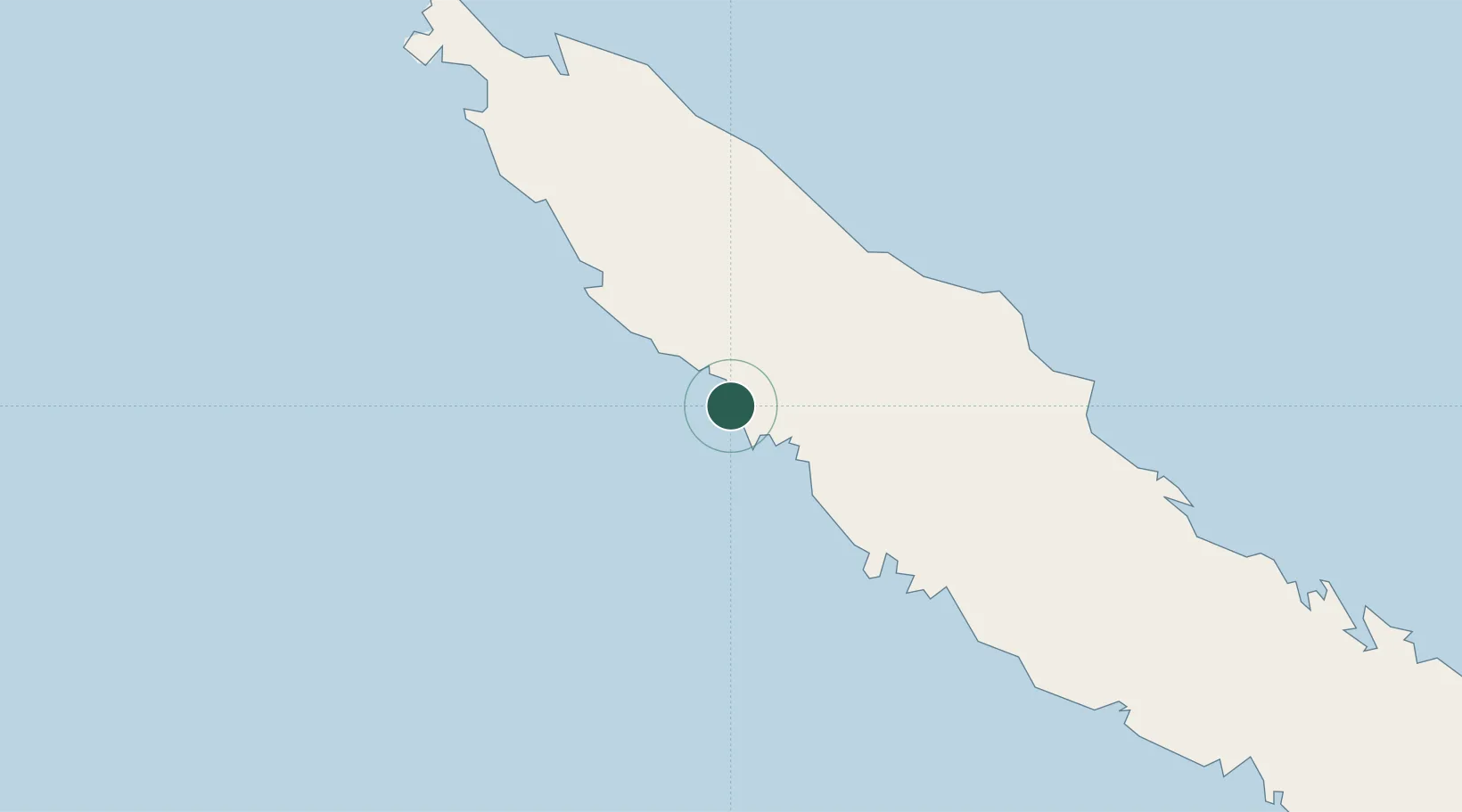
Location
Nearby Logistics Neighbours
Cities
- 1Teoudie38 km
- 2Népoui49 km
- 3Paagoumène75 km
- 4Bourail106 km
- 5Poro114 km
Ports
- 1Baie Ugue93 km
- 2Baie De Kouaoua127 km
- 3Noumea232 km
- 4Port Vila528 km
- 5Luganville664 km
Airports
- 1Koné Airport19 km
- 2Touho Airport66 km
- 3Koumac Airport66 km
- 4Île Art - Waala Airport177 km
- 5La Tontouta International Airport196 km
Trade Zones
- 1Vanuatu Economic Development Zone665 km
- 2Lautoka Special Zone1391 km
- 3Tulagi Island Special Economic Zone1409 km
- 4Rotuma-Kadavu Tax-Free Region1475 km
- 5Kalabu Tax Free Zone1483 km
DatabookThe Record of Consolidated Knowledge
New Caledonia beyond logistics?