Transport Functions
Port
Airport
Hub Profile
Place type
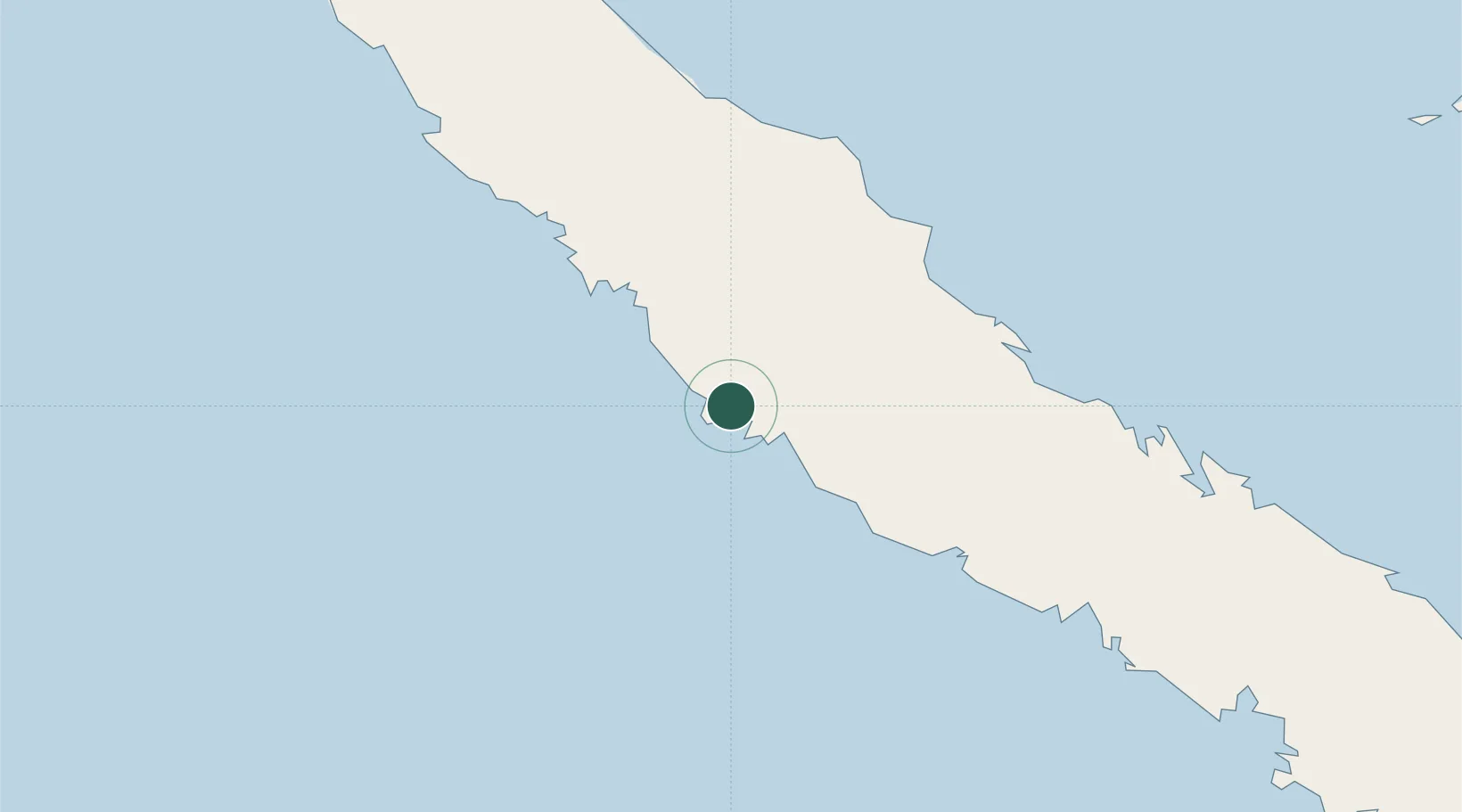
Populated place
Region
North Province
Time zone
Pacific/Noumea
Elevation
67 m
Location
Nearby Logistics Neighbours
Ports
- 1Baie Ugue60 km
- 2Baie De Kouaoua85 km
- 3Noumea183 km
- 4Port Vila529 km
- 5Luganville684 km
Airports
- 1Koné Airport34 km
- 2Touho Airport64 km
- 3Koumac Airport115 km
- 4La Tontouta International Airport147 km
- 5Ouvéa Airport180 km
Trade Zones
- 1Vanuatu Economic Development Zone685 km
- 2Lautoka Special Zone1366 km
- 3Rotuma-Kadavu Tax-Free Region1448 km
- 4Tulagi Island Special Economic Zone1455 km
- 5Kalabu Tax Free Zone1456 km
DatabookThe Record of Consolidated Knowledge
New Caledonia beyond logistics?