Small airport · New Caledonia
Île Art - Waala AirportNWWC
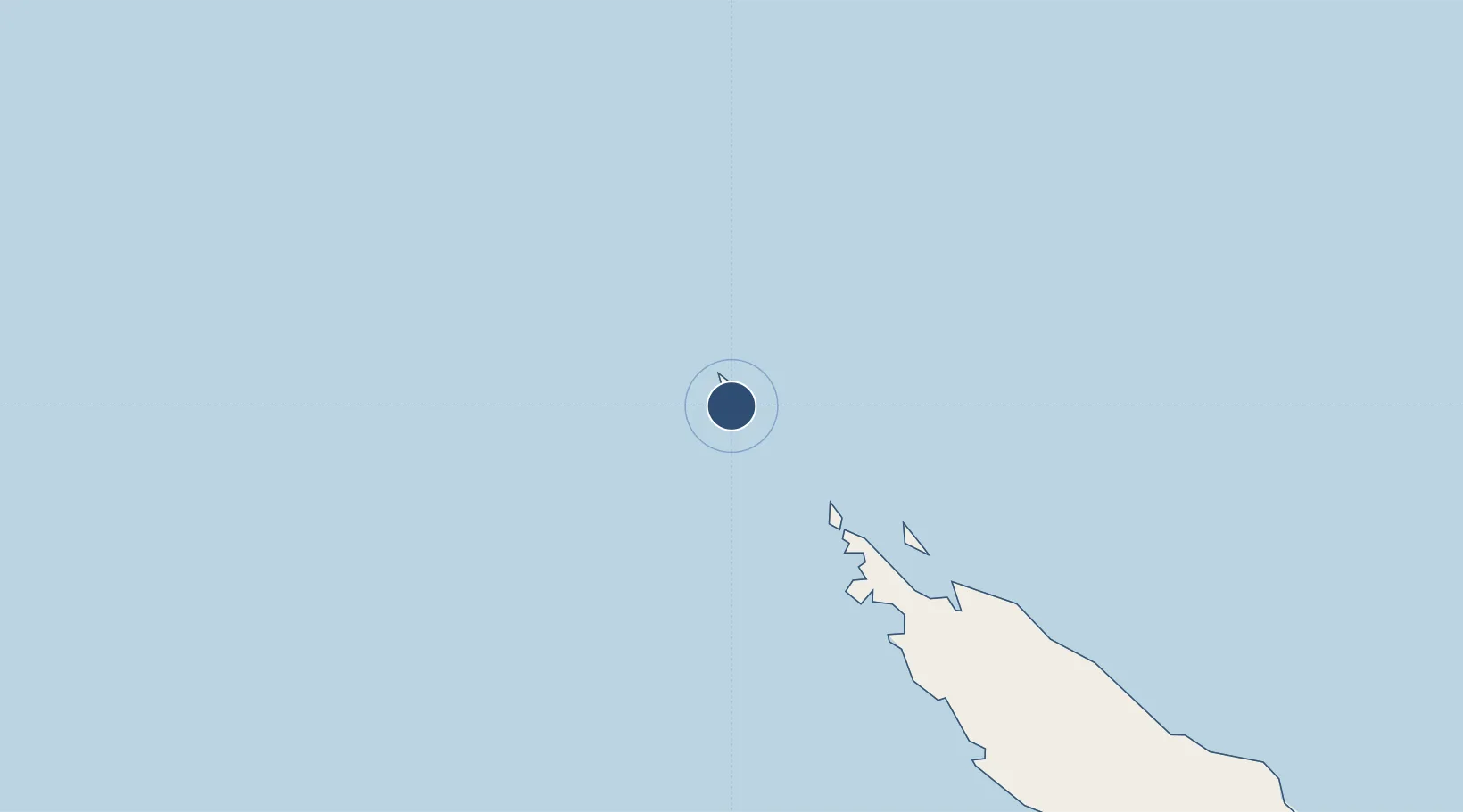
-19.7205°, 163.6611°
1,969 ft
Longest runway
1
Runways
306 ft
Elevation
Runway & Layout

Runways · 1
| Runway | Dimensions | Surface | True heading | Lit |
|---|---|---|---|---|
| 09/27 | 1,969 × 66ft | Asphalt | 107° | — |
Airport Specifications
IATA code
BMY
ICAO code
NWWC
Airport class
Small airport
Scheduled service
Yes
Runway surface
Asphalt
Served city
Waala
Location
Nearby Logistics Neighbours
Airports
- 1Koumac Airport111 km
- 2Koné Airport193 km
- 3Touho Airport205 km
- 4Ouvéa Airport321 km
- 5La Tontouta International Airport368 km
Cities
- 1Wala1 km
- 2Paagoumène102 km
- 3Teoudie140 km
- 4Vavouto177 km
- 5Népoui226 km
Ports
- 1Baie Ugue253 km
- 2Baie De Kouaoua291 km
- 3Noumea405 km
- 4Port Vila538 km
- 5Luganville597 km
Trade Zones
- 1Vanuatu Economic Development Zone598 km
- 2Tulagi Island Special Economic Zone1240 km
- 3Lautoka Special Zone1469 km
- 4Rotuma-Kadavu Tax-Free Region1562 km
- 5Kalabu Tax Free Zone1569 km
DatabookThe Record of Consolidated Knowledge
New Caledonia beyond logistics?