UN/LOCODE hub · New Caledonia
NC4NB
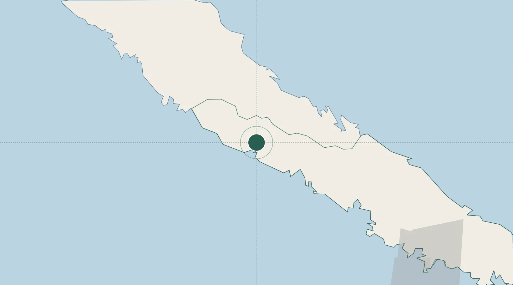
Bourail
-21.5667°, 165.4833°
5,531
Population
1
Transport functions
Transport Functions
Multimodal
Hub Profile
Place type
Populated place
Region
South Province
Population
5,531
Time zone
Pacific/Noumea
Elevation
9 m
Location
Nearby Logistics Neighbours
Ports
- 1Baie De Kouaoua40 km
- 2Baie Ugue47 km
- 3Noumea126 km
- 4Port Vila519 km
- 5Luganville696 km
Airports
- 1Koné Airport88 km
- 2Touho Airport89 km
- 3La Tontouta International Airport90 km
- 4Nouméa Magenta Airport128 km
- 5Ouvéa Airport153 km
Trade Zones
- 1Vanuatu Economic Development Zone697 km
- 2Lautoka Special Zone1326 km
- 3Rotuma-Kadavu Tax-Free Region1405 km
- 4Kalabu Tax Free Zone1413 km
- 5Nausori-Ba Tax-Free Region1419 km
DatabookThe Record of Consolidated Knowledge
New Caledonia beyond logistics?