UN/LOCODE hub · New Caledonia
NCNOU
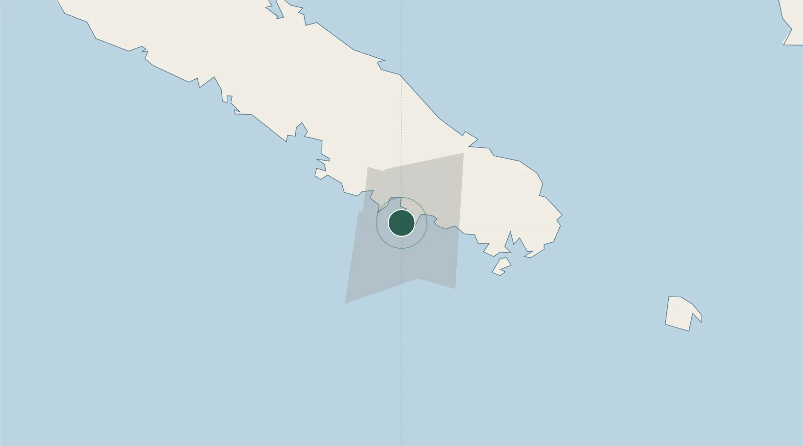
Nouméa
-22.2663°, 166.4335°
93,060
Population
3
Transport functions
Transport Functions
Port
Airport
Postal
Hub Profile
Place type
National capital
Region
South Province
Population
93,060
Time zone
Pacific/Noumea
Elevation
26 m
Logistics facilities
3
Location
Nearby Logistics Neighbours
Cities
- 1Ducos4 km
- 2Le Mont-Dore16 km
- 3Prony40 km
- 4Nakéty90 km
- 5Kouaoua115 km
Ports
- 1Baie De Kouaoua117 km
- 2Baie Ugue154 km
- 3Port Vila541 km
- 4Luganville755 km
- 5Lautoka Harbor1263 km
Airports
- 1Nouméa Magenta Airport4 km
- 2La Tontouta International Airport36 km
- 3Île des Pins Airport111 km
- 4Ouvéa Airport181 km
- 5Lifou Airport186 km
Trade Zones
- 1Vanuatu Economic Development Zone756 km
- 2Lautoka Special Zone1260 km
- 3Rotuma-Kadavu Tax-Free Region1332 km
- 4Kalabu Tax Free Zone1340 km
- 5Nausori-Ba Tax-Free Region1347 km
DatabookThe Record of Consolidated Knowledge
New Caledonia beyond logistics?