Transport Functions
Port
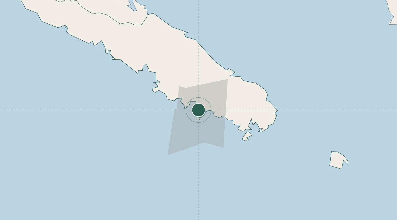
Hub Profile
Place type
Urban district
Region
South Province
Population
2,082
Time zone
Pacific/Noumea
Elevation
1 m
Location
Nearby Logistics Neighbours
Cities
- 1Nouméa4 km
- 2Le Mont-Dore15 km
- 3Prony39 km
- 4Nakéty87 km
- 5Kouaoua112 km
Ports
- 1Noumea6 km
- 2Baie De Kouaoua115 km
- 3Baie Ugue152 km
- 4Port Vila537 km
- 5Luganville751 km
Airports
- 1Nouméa Magenta Airport4 km
- 2La Tontouta International Airport35 km
- 3Île des Pins Airport111 km
- 4Ouvéa Airport178 km
- 5Lifou Airport182 km
Trade Zones
- 1Vanuatu Economic Development Zone752 km
- 2Lautoka Special Zone1257 km
- 3Rotuma-Kadavu Tax-Free Region1329 km
- 4Kalabu Tax Free Zone1337 km
- 5Nausori-Ba Tax-Free Region1344 km
DatabookThe Record of Consolidated Knowledge
New Caledonia beyond logistics?