UN/LOCODE hub · Mexico
MXVDZ
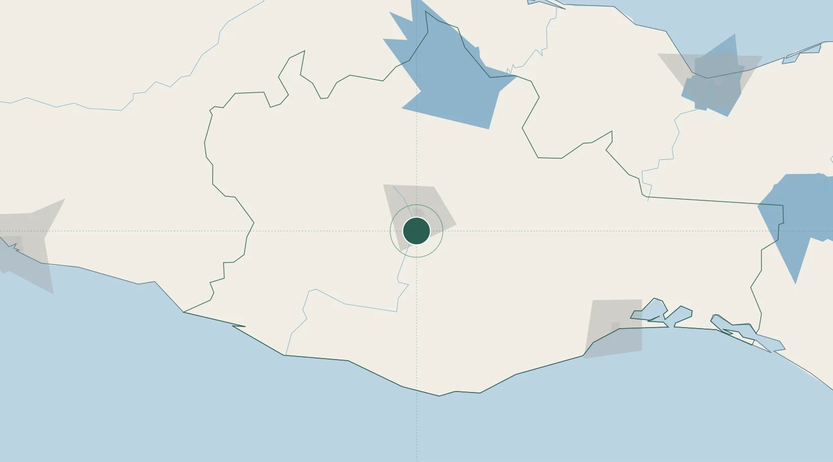
Villa de Zaachila
16.9500°, -96.7333°
13,959
Population
1
Transport functions
Transport Functions
Multimodal
Hub Profile
Place type
Provincial seat
Region
Oaxaca
Population
13,959
Time zone
America/Mexico_City
Elevation
1,518 m
Location
Nearby Logistics Neighbours
Cities
- 1Telixtlahuaca43 km
- 2Huatulco (Santa María Huatulco)132 km
- 3Puerto Ángel145 km
- 4Salina Cruz187 km
- 5Juchitán de Zaragoza192 km
Ports
- 1Salina Cruz185 km
- 2Minatitlan251 km
- 3Veracruz258 km
- 4Nanchital275 km
- 5Coatzacoalcos280 km
Airports
DatabookThe Record of Consolidated Knowledge
Mexico beyond logistics?