UN/LOCODE hub · Mexico
MXTXH

Telixtlahuaca

17.3000°, -96.9000°
4
Transport functions

Transport Functions

Port
Rail
Road
Multimodal
UN/LOCODE

Hub Profile

Region
OAX
GeoNames

Location

Location of MXTXH
Natural Earth 10m (public domain) · OAX · MXTXH · 17.30, -96.90GoogleOSMYandex

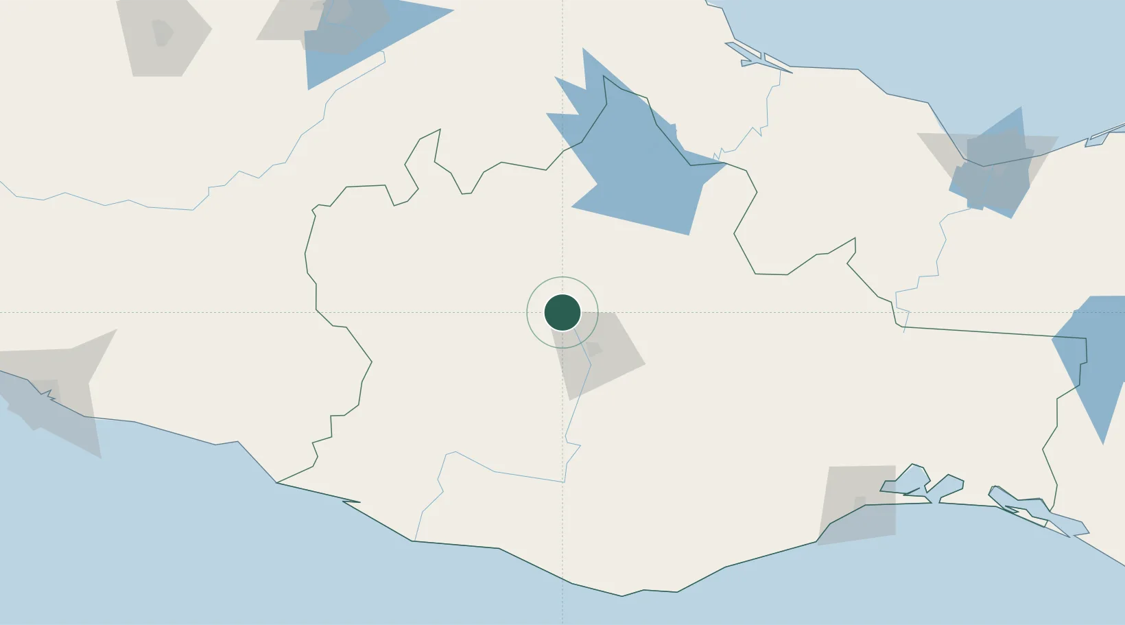
Nearby Logistics Neighbours

Cities
  1. 1Villa de Zaachila43 km
  2. 2Tepanco de López157 km
  3. 3Tepetlalco169 km
  4. 4Cuitláhuac170 km
  5. 5Río Blanco173 km
Nearest neighbours — logibook spatial index (haversine) over the source coordinates
Ports
  1. 1Salina Cruz221 km
  2. 2Veracruz226 km
  3. 3Minatitlan254 km
  4. 4Nanchital277 km
  5. 5Coatzacoalcos280 km
Nearest neighbours — logibook spatial index (haversine) over the source coordinates
DatabookThe Record of Consolidated Knowledge
Mexico beyond logistics?
Browse databook

All Sources

LocationsUN/LOCODE
UN/LOCODE — free
Portsthe NGA World Port Index
Public domain (US gov)
AirportsOurAirports
Public domain
Trade Zonesthe World Bank SEZ database
CC BY 4.0
Trade ZonesOpen Zone Map
CC BY
← Mexico locations