Transport Functions
Port
Airport
Hub Profile
Place type
Populated place
Region
Oaxaca
Population
84,438
Time zone
America/Mexico_City
Elevation
8 m
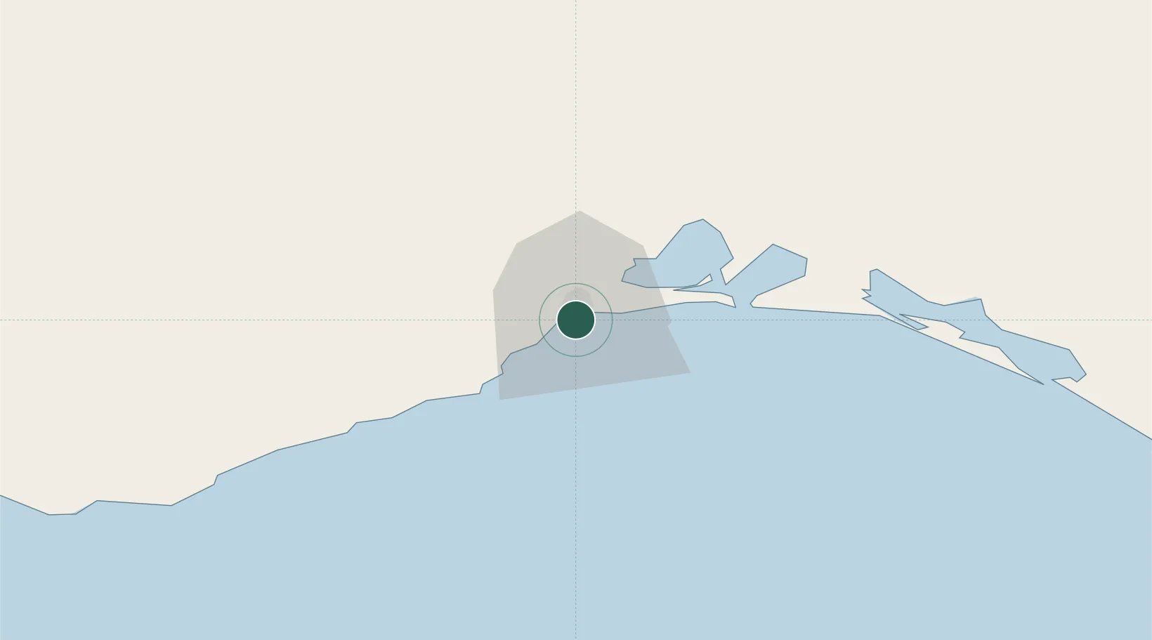
Location
Nearby Logistics Neighbours
Cities
- 1Juchitán de Zaragoza35 km
- 2Huatulco (Santa María Huatulco)127 km
- 3Puerto Ángel150 km
- 4Villa de Zaachila187 km
- 5Cosoleacaque217 km
Ports
- 1Minatitlan203 km
- 2Nanchital226 km
- 3Coatzacoalcos235 km
- 4Dos Bocas Terminal327 km
- 5Puerto Madero335 km
Airports
Trade Zones
DatabookThe Record of Consolidated Knowledge
Mexico beyond logistics?