Transport Functions
Port
Road
Multimodal
Hub Profile
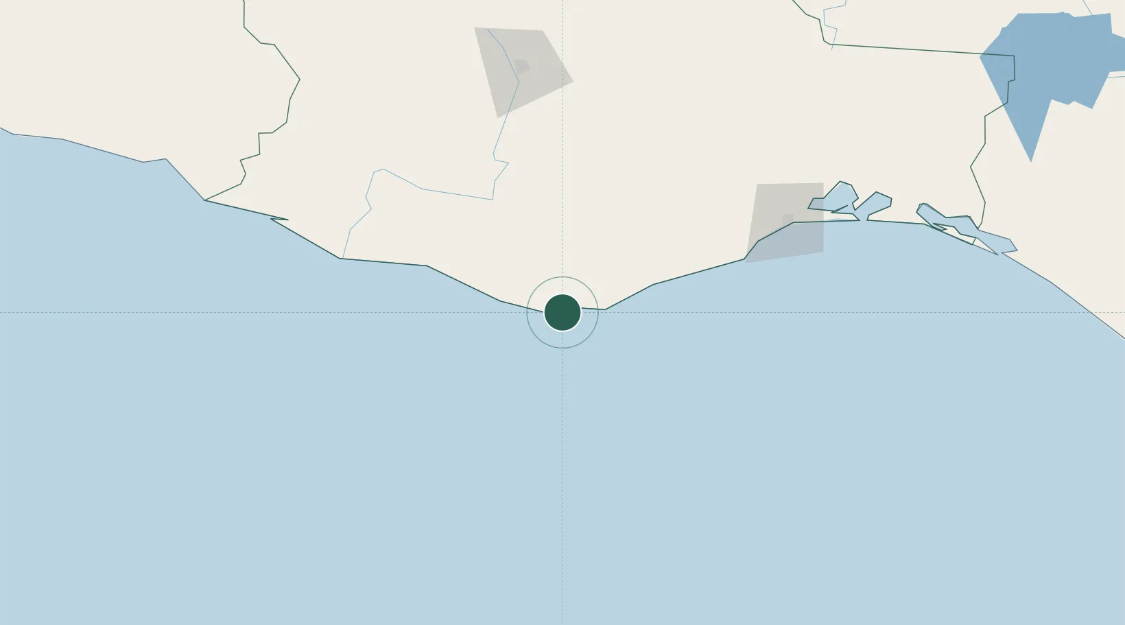
Place type
Populated place
Region
Oaxaca
Population
2,645
Time zone
America/Mexico_City
Elevation
20 m
Location
Nearby Logistics Neighbours
Cities
- 1Huatulco (Santa María Huatulco)26 km
- 2Villa de Zaachila145 km
- 3Salina Cruz150 km
- 4Juchitán de Zaragoza178 km
- 5Telixtlahuaca187 km
Ports
- 1Salina Cruz148 km
- 2Minatitlan320 km
- 3Nanchital346 km
- 4Coatzacoalcos353 km
- 5Acapulco391 km
Airports
Trade Zones
DatabookThe Record of Consolidated Knowledge
Mexico beyond logistics?