UN/LOCODE hub · Mexico
MXHTO

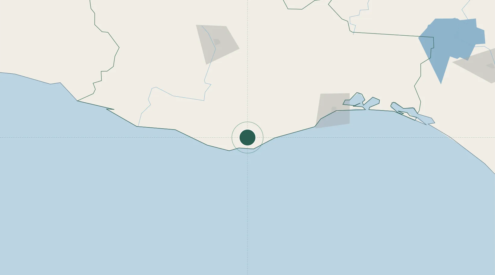
Huatulco (Santa María Huatulco)

15.8333°, -96.3167°
2
Transport functions

Transport Functions

Port
Road
UN/LOCODE

Hub Profile

Region
OAX
GeoNames

Location

Location of MXHTO
Natural Earth 10m (public domain) · OAX · MXHTO · 15.83, -96.32GoogleOSMYandex

Nearby Logistics Neighbours

Cities
  1. 1Puerto Ángel26 km
  2. 2Salina Cruz127 km
  3. 3Villa de Zaachila132 km
  4. 4Juchitán de Zaragoza154 km
  5. 5Telixtlahuaca175 km
Nearest neighbours — logibook spatial index (haversine) over the source coordinates
Ports
  1. 1Salina Cruz125 km
  2. 2Minatitlan295 km
  3. 3Nanchital320 km
  4. 4Coatzacoalcos327 km
  5. 5Veracruz375 km
Nearest neighbours — logibook spatial index (haversine) over the source coordinates
Trade Zones
  1. 1Special Economic Zone of Salina Cruz120 km
  2. 2Special Economic Zone of Coatzacoalcos321 km
  3. 3Zona Economica Especial de Tabasco435 km
  4. 4Special Economic Zone of Puerto Chiapas438 km
  5. 5Grupo Zeta Free Zone628 km
Nearest neighbours — logibook spatial index (haversine) over the source coordinates
DatabookThe Record of Consolidated Knowledge
Mexico beyond logistics?
Browse databook

All Sources

LocationsUN/LOCODE
UN/LOCODE — free
Portsthe NGA World Port Index
Public domain (US gov)
AirportsOurAirports
Public domain
Trade Zonesthe World Bank SEZ database
CC BY 4.0
Trade ZonesOpen Zone Map
CC BY
← Mexico locations