Large airport · Mexico

Bahías de Huatulco International AirportMMBT
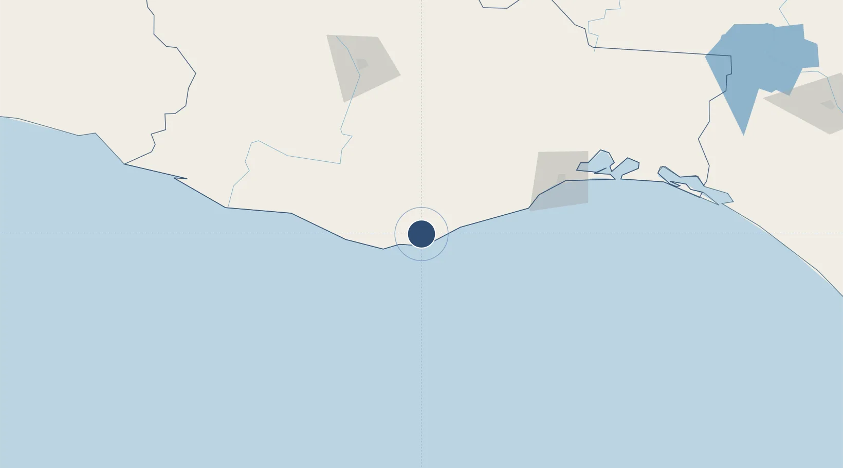
15.7754°, -96.2605°
8,858 ft
Longest runway
1
Runways
464 ft
Elevation

Runway & Layout

Bahías de Huatulco International Airport runway & taxiway layout
Runway & taxiway layout — OpenStreetMap (ODbL) / OurAirports

Radio Frequencies

TWR
118 MHz
HUATULCO TWR
OurAirports

Navaids

HUX VOR-DME Huatulco 113.20 MHz
OurAirports

Runways · 1

RunwayDimensions SurfaceTrue headingLit
07/25 8,858 × 148ft Asphalt 079°
OurAirports

Airport Specifications

IATA code
HUX
OurAirports
ICAO code
MMBT
OurAirports
Airport class
Large airport
OurAirports
Scheduled service
Yes
OurAirports
Runway surface
Asphalt
OurAirports
Served city
Huatulco
OurAirports

Location

Location of MMBT
Natural Earth 10m (public domain) · Oaxaca · MMBT · 15.78, -96.26GoogleOSMYandex

Nearby Logistics Neighbours

Cities
  1. 1Huatulco (Santa María Huatulco)9 km
  2. 2Puerto Ángel27 km
  3. 3Salina Cruz123 km
  4. 4Villa de Zaachila140 km
  5. 5Juchitán de Zaragoza152 km
Nearest neighbours — logibook spatial index (haversine) over the source coordinates
Ports
  1. 1Salina Cruz121 km
  2. 2Minatitlan296 km
  3. 3Nanchital322 km
  4. 4Coatzacoalcos329 km
  5. 5Veracruz381 km
Nearest neighbours — logibook spatial index (haversine) over the source coordinates
Trade Zones
  1. 1Special Economic Zone of Salina Cruz117 km
  2. 2Special Economic Zone of Coatzacoalcos322 km
  3. 3Special Economic Zone of Puerto Chiapas430 km
  4. 4Zona Economica Especial de Tabasco435 km
  5. 5Grupo Zeta Free Zone621 km
Nearest neighbours — logibook spatial index (haversine) over the source coordinates
DatabookThe Record of Consolidated Knowledge
Mexico beyond logistics?
Browse databook

All Sources

AirportsOurAirports
Public domain
Portsthe NGA World Port Index
Public domain (US gov)
LocationsUN/LOCODE
UN/LOCODE — free
Trade Zonesthe World Bank SEZ database
CC BY 4.0
Trade ZonesOpen Zone Map
CC BY
InfrastructureOpenStreetMap
ODbL 1.0
← Mexico airports