Transport Functions
Port
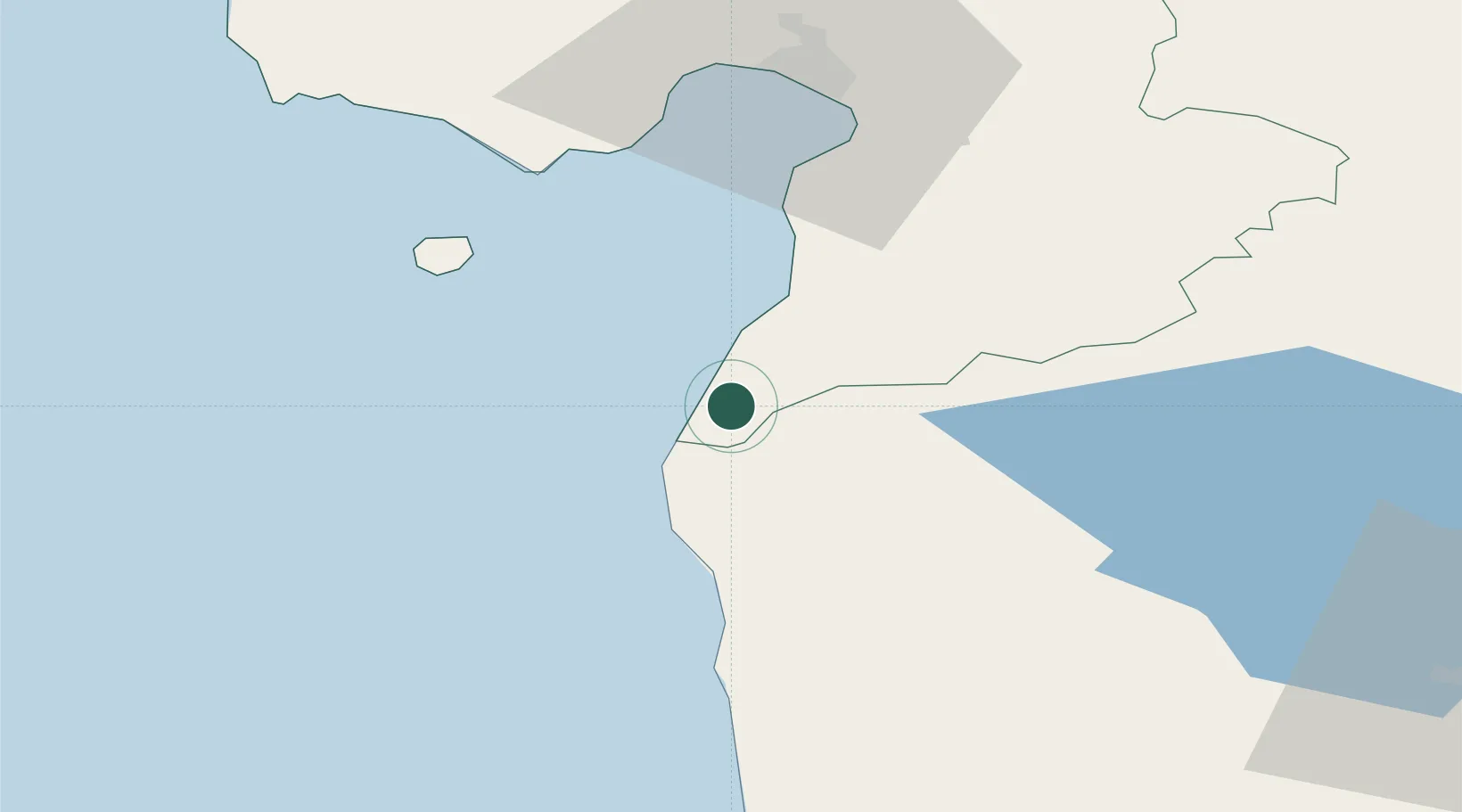
Hub Profile
Place type
Populated place
Region
Pärnumaa
Population
276
Time zone
Europe/Tallinn
Elevation
5 m
Location
Nearby Logistics Neighbours
Cities
- 1Jaagupi14 km
- 2Salacgriva19 km
- 3Rannametsa23 km
- 4Kihnu32 km
- 5Suaru32 km
Ports
- 1Salacgriva24 km
- 2Parnu52 km
- 3Virtsu89 km
- 4Riga109 km
- 5Roomassaare115 km
Airports
- 1Pärnu Airport56 km
- 2Ruhnu Airfield68 km
- 3Riga International Airport114 km
- 4Kuressaare Airport116 km
- 5Jūrmala Airport129 km
Trade Zones
- 1Free Port of Riga108 km
- 2Muuga Free Zone158 km
- 3Paldiski Free Zone159 km
- 4Free port of Ventspils180 km
- 5Akmenė Free Economic Zone211 km
DatabookThe Record of Consolidated Knowledge
Estonia beyond logistics?