Transport Functions
Port
Hub Profile
Place type
Populated place
Region
Pärnumaa
Time zone
Europe/Tallinn
Elevation
10 m
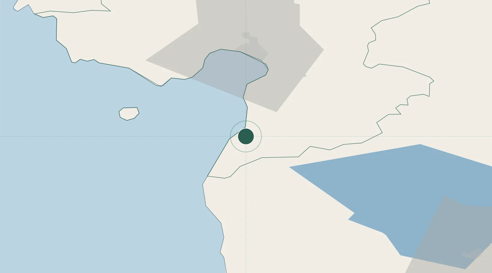
Location
Nearby Logistics Neighbours
Cities
- 1Rannametsa9 km
- 2Treimani14 km
- 3Võiste20 km
- 4Kihnu29 km
- 5Suaru29 km
Ports
- 1Salacgriva38 km
- 2Parnu39 km
- 3Virtsu82 km
- 4Rohukula114 km
- 5Roomassaare117 km
Airports
- 1Pärnu Airport43 km
- 2Ruhnu Airfield76 km
- 3Kuressaare Airport117 km
- 4Riga International Airport127 km
- 5Tartu Airport134 km
Trade Zones
- 1Free Port of Riga122 km
- 2Muuga Free Zone144 km
- 3Paldiski Free Zone146 km
- 4Free port of Ventspils189 km
- 5Moglino Special Economic Zone - Industrial219 km
DatabookThe Record of Consolidated Knowledge
Estonia beyond logistics?