Transport Functions
Port
Hub Profile
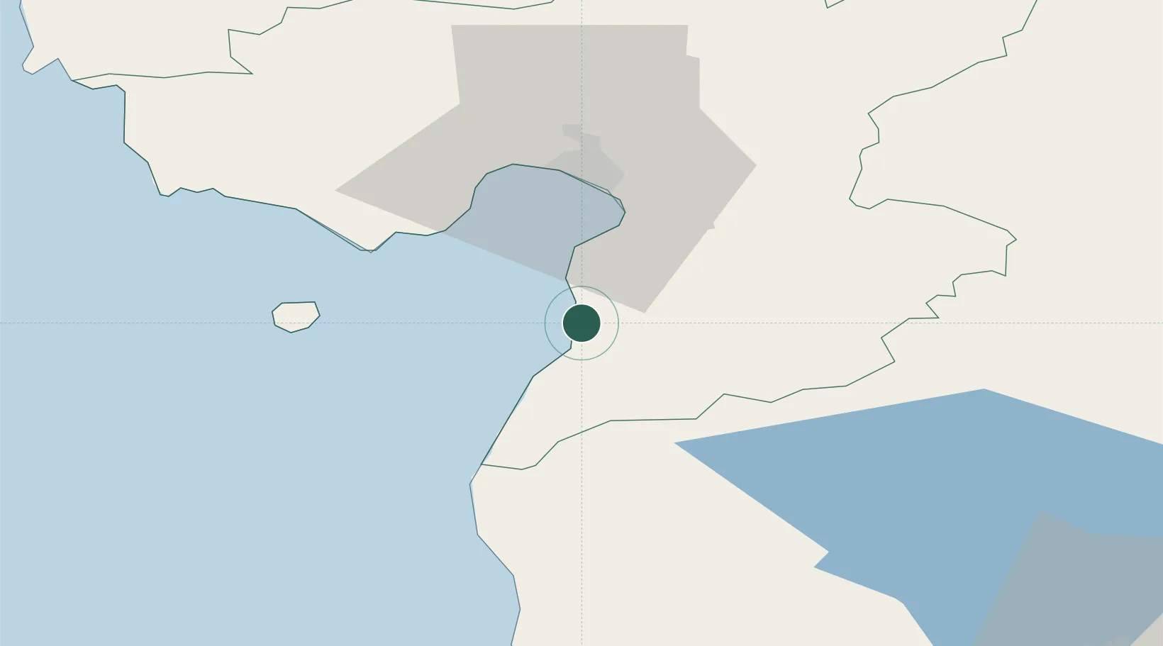
Place type
Populated place
Region
Pärnumaa
Population
119
Time zone
Europe/Tallinn
Elevation
4 m
Location
Nearby Logistics Neighbours
Ports
- 1Parnu30 km
- 2Salacgriva47 km
- 3Virtsu76 km
- 4Rohukula107 km
- 5Roomassaare116 km
Airports
- 1Pärnu Airport34 km
- 2Ruhnu Airfield81 km
- 3Kuressaare Airport116 km
- 4Ämari Air Base128 km
- 5Tartu Airport131 km
Trade Zones
- 1Free Port of Riga131 km
- 2Muuga Free Zone135 km
- 3Paldiski Free Zone137 km
- 4Free port of Ventspils193 km
- 5Freeport of Hanko211 km
DatabookThe Record of Consolidated Knowledge
Estonia beyond logistics?