Transport Functions
Road
Multimodal
Hub Profile
Place type
Populated place
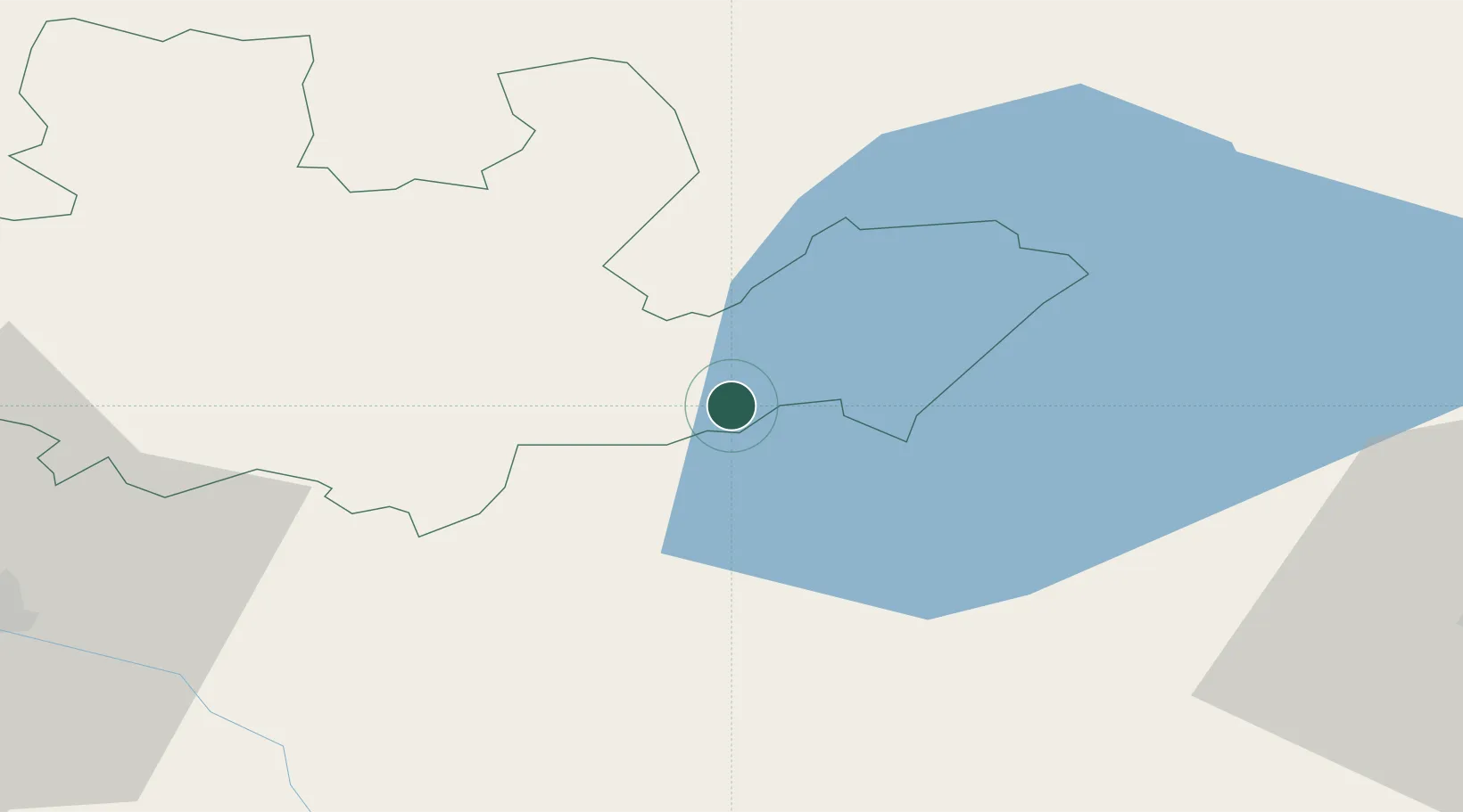
Region
Madonas novads
Time zone
Europe/Riga
Elevation
102 m
Location
Nearby Logistics Neighbours
Ports
- 1Riga154 km
- 2Salacgriva173 km
- 3Parnu224 km
- 4Sillamae309 km
- 5Kunda313 km
Airports
Trade Zones
- 1Latgale SEZ59 km
- 2Rēzekne SEZ59 km
- 3Moglino Special Economic Zone - Industrial148 km
- 4Free Port of Riga155 km
- 5Panevėžys Free Economic Zone207 km
DatabookThe Record of Consolidated Knowledge
Latvia beyond logistics?