Transport Functions
Multimodal
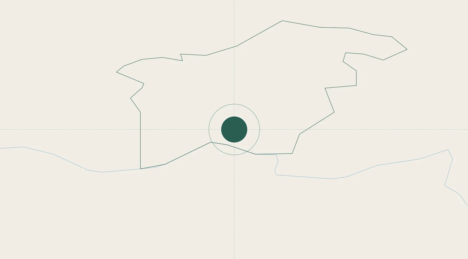
Hub Profile
Place type
Populated place
Region
Aizkraukle Municipality
Population
2,906
Time zone
Europe/Riga
Elevation
86 m
Location
Nearby Logistics Neighbours
Cities
- 1Aizkraukle14 km
- 2Jekabpils32 km
- 3Ogre53 km
- 4Madona53 km
- 5Livani56 km
Ports
- 1Riga88 km
- 2Salacgriva133 km
- 3Parnu201 km
- 4Virtsu243 km
- 5Roomassaare247 km
Airports
- 1Jēkabpils Air Base31 km
- 2Riga International Airport94 km
- 3Daugavpils International Airport109 km
- 4Panevėžys Air Base119 km
- 5Barysiai Airfield132 km
Trade Zones
- 1Free Port of Riga88 km
- 2Latgale SEZ115 km
- 3Rēzekne SEZ115 km
- 4ō iauliai Free Economic Zone152 km
- 5Panevėžys Free Economic Zone156 km
DatabookThe Record of Consolidated Knowledge
Latvia beyond logistics?