UN/LOCODE hub · Germany
DETMM

Temmels

49.6833°, 6.4667°
649
Population
3
Transport functions

Transport Functions

Port
Rail
Road
UN/LOCODE

Hub Profile

Place type
Local administrative seat
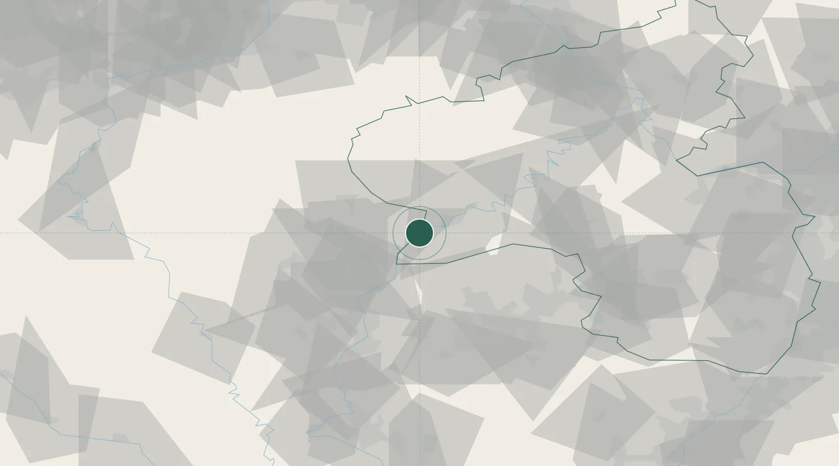
GeoNames
Region
Rheinland-Pfalz
GeoNames
Population
649
GeoNames
Time zone
Europe/Berlin
GeoNames
Elevation
146 m
GeoNames

Location

Location of DETMM
Natural Earth 10m (public domain) · Rheinland-Pfalz · DETMM · 49.68, 6.47GoogleOSMYandex

Nearby Logistics Neighbours

Cities
  1. 1Mertert2 km
  2. 2Langsur4 km
  3. 3Oberbillig4 km
  4. 4Wiltingen10 km
  5. 5Wormeldange10 km
Nearest neighbours — logibook spatial index (haversine) over the source coordinates
Ports
  1. 1Bruxelles200 km
  2. 2Antwerpen225 km
  3. 3Ghent247 km
  4. 4Hansweert263 km
  5. 5Terneuzen264 km
Nearest neighbours — logibook spatial index (haversine) over the source coordinates
Airports
  1. 1Luxembourg-Findel International Airport19 km
  2. 2Spangdahlem Air Base37 km
  3. 3Frankfurt-Hahn Airport64 km
  4. 4Büchel Air Base69 km
  5. 5Saarbrücken Airport70 km
Nearest neighbours — logibook spatial index (haversine) over the source coordinates
Trade Zones
  1. 1Luxembourg Free Port18 km
  2. 2ZFU Woippy-Metz64 km
  3. 3ZFU La Cité Behren-lès-Forbach66 km
  4. 4ZFU Metz68 km
  5. 5ZFU Maxéville, Laxou, et de Nancy111 km
Nearest neighbours — logibook spatial index (haversine) over the source coordinates
DatabookThe Record of Consolidated Knowledge
Germany beyond logistics?
Browse databook

All Sources

LocationsUN/LOCODE
UN/LOCODE — free
LocationsGeoNames
CC BY 4.0
Portsthe NGA World Port Index
Public domain (US gov)
AirportsOurAirports
Public domain
Trade Zonesthe World Bank SEZ database
CC BY 4.0
Trade ZonesOpen Zone Map
CC BY
← Germany locations