Transport Functions
Rail
Road
Hub Profile
Place type
Provincial seat
Region
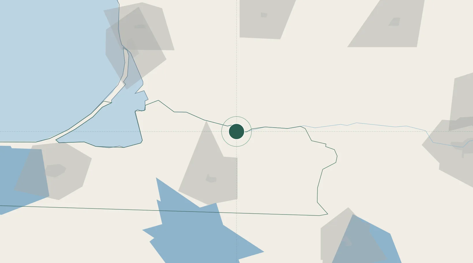
Kaliningrad Oblast
Population
12,507
Time zone
Europe/Kaliningrad
Elevation
33 m
Location
Nearby Logistics Neighbours
Cities
- 1Sovetsk9 km
- 2Pagegiai13 km
- 3Tauragé30 km
- 4Chernyakhovsk46 km
- 5Silute48 km
Ports
- 1Klaipeda95 km
- 2Kaliningrad105 km
- 3Butinge Oil Terminal130 km
- 4Baltiysk143 km
- 5Liepaja176 km
Airports
- 1Chernyakhovsk Naval Air Base50 km
- 2Khrabrovo Airport92 km
- 3Kaliningrad Chkalovsk Naval Air Base108 km
- 4Palanga International Airport120 km
- 5Kėdainiai Air Base127 km
Trade Zones
DatabookThe Record of Consolidated Knowledge
Russia beyond logistics?