Transport Functions
Multimodal
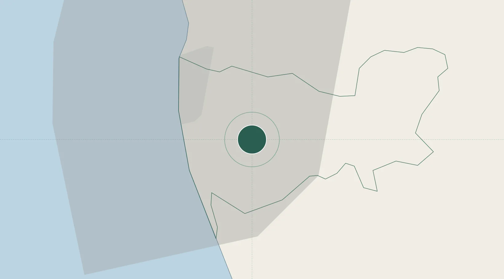
Hub Profile
Place type
Populated place
Region
Western Province
Time zone
Asia/Colombo
Elevation
36 m
Location
Nearby Logistics Neighbours
Cities
- 1Pita Kotte7 km
- 2Attidiya8 km
- 3Ratmalana10 km
- 4Rawatawatta10 km
- 5Gorakana11 km
Ports
- 1Colombo16 km
- 2Galle Harbor96 km
- 3Hambantota154 km
- 4Trincomalee Harbor235 km
- 5Tuticorin293 km
Airports
Trade Zones
DatabookThe Record of Consolidated Knowledge
Sri Lanka beyond logistics?