Transport Functions
Port
Rail
Airport
Hub Profile
Place type
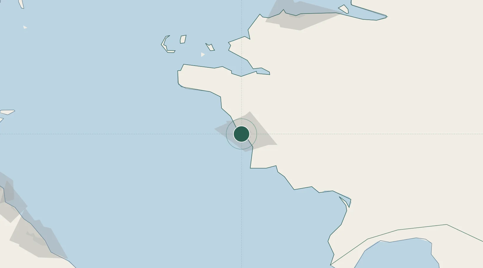
Regional capital
Region
Mangghystaū
Population
147,443
Time zone
Asia/Aqtau
Elevation
16 m
Logistics facilities
1
Location
Nearby Logistics Neighbours
Cities
- 1Bautino122 km
- 2Yalama299 km
- 3Makhachkala305 km
- 4Siyazan333 km
- 5Khachmaz345 km
Ports
- 1Supsa Marine Terminal787 km
- 2Batumi808 km
- 3Sokhumi825 km
- 4Hopa836 km
- 5Sochi918 km
Airports
- 1Aktau International Airport24 km
- 2Makhachkala Uytash International Airport298 km
- 3Sitalchay Airbase346 km
- 4Zabrat Airport364 km
- 5Nasosnaya Air Base365 km
Trade Zones
DatabookThe Record of Consolidated Knowledge
Kazakhstan beyond logistics?