Export Processing Zone · Kazakhstan
Seaport Aktau Special Economic Zone Active
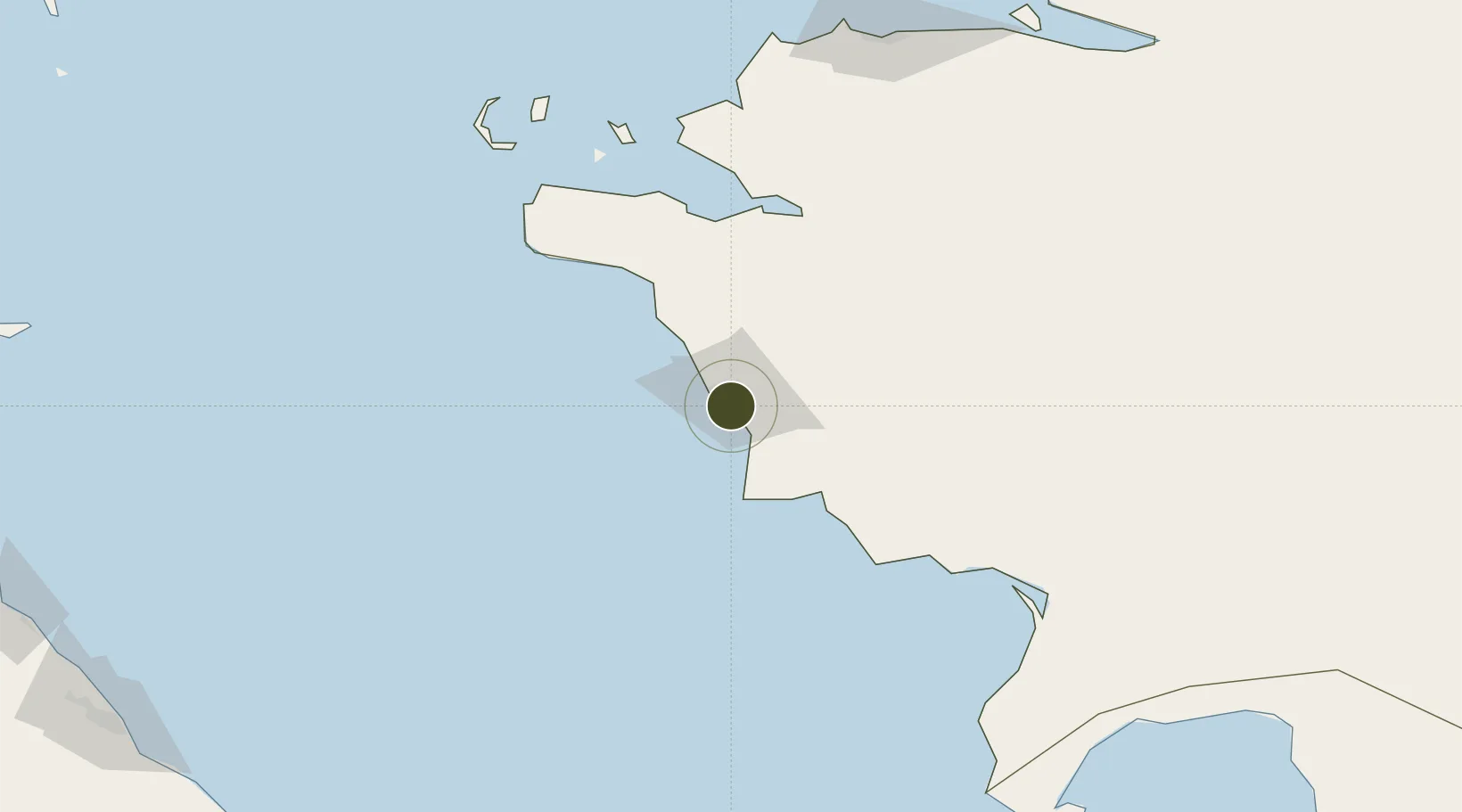
43.6018°, 51.2185°
2,000 ha
Zone area
791.9 km
Nearest port
30.5 km
Nearest airport
Gateway access
Zone profile
Zone type
Export Processing Zone
Region
Mangghystau
Status
Active
Management
Public
Operator
Akimat of Mangystau region/Management company of SEZ "Seaport Aktau".
Legal framework
Decree of the President of the Republic of Kazakhstan dated April 26, 2002.
Location
Nearby Logistics Neighbours
Ports
- 1Supsa Marine Terminal792 km
- 2Batumi812 km
- 3Sokhumi831 km
- 4Hopa840 km
- 5Rize923 km
Airports
- 1Aktau International Airport31 km
- 2Makhachkala Uytash International Airport302 km
- 3Sitalchay Airbase344 km
- 4Zabrat Airport360 km
- 5Heydar Aliyev International Airport361 km
Cities
- 1Aktau8 km
- 2Bautino129 km
- 3Yalama299 km
- 4Makhachkala309 km
- 5Siyazan331 km
Trade Zones
- 1Sumgayit Chemical Industrial Park359 km
- 2Pirallahi Industrial Park361 km
- 3Balakhani Industrial Park366 km
- 4Alat Free Economic Zone371 km
- 5ANAS High Technologies Park374 km
DatabookThe Record of Consolidated Knowledge
Kazakhstan beyond logistics?