Transport Functions
Rail
Road
Hub Profile
Place type
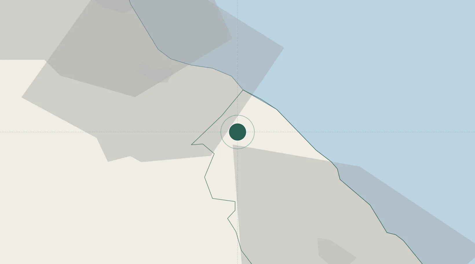
Populated place
Region
Xaçmaz
Time zone
Asia/Baku
Elevation
59 m
Location
Nearby Logistics Neighbours
Cities
- 1Khachmaz86 km
- 2Siyazan88 km
- 3Sumqayit159 km
- 4Makhachkala161 km
- 5Quba177 km
Ports
- 1Supsa Marine Terminal568 km
- 2Batumi574 km
- 3Hopa597 km
- 4Sokhumi638 km
- 5Rize675 km
Airports
- 1Gabala International Airport126 km
- 2Sitalchay Airbase127 km
- 3Makhachkala Uytash International Airport141 km
- 4Nasosnaya Air Base153 km
- 5Zaqatala International Airport159 km
Trade Zones
DatabookThe Record of Consolidated Knowledge
Azerbaijan beyond logistics?