Transport Functions
Port
Multimodal
Hub Profile
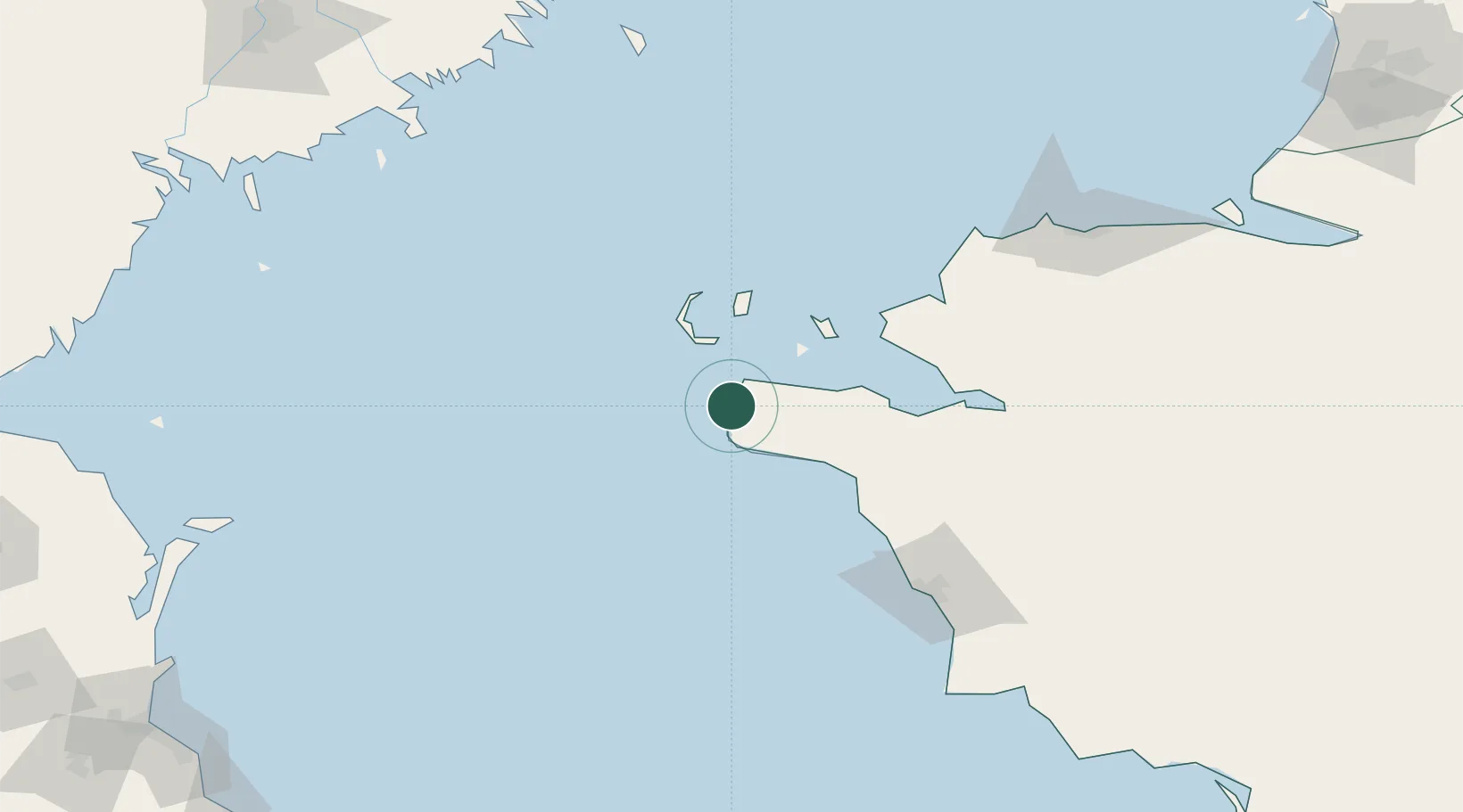
Place type
Populated place
Region
Mangghystaū
Population
3,247
Time zone
Asia/Aqtau
Elevation
-22 m
Location
Nearby Logistics Neighbours
Cities
- 1Aktau122 km
- 2Trudfront254 km
- 3Olya254 km
- 4Oranzherei255 km
- 5Ikryanoye262 km
Ports
- 1Supsa Marine Terminal741 km
- 2Sokhumi764 km
- 3Batumi768 km
- 4Hopa799 km
- 5Sochi846 km
Airports
Trade Zones
DatabookThe Record of Consolidated Knowledge
Kazakhstan beyond logistics?