Transport Functions
Port
Rail
Road
Airport
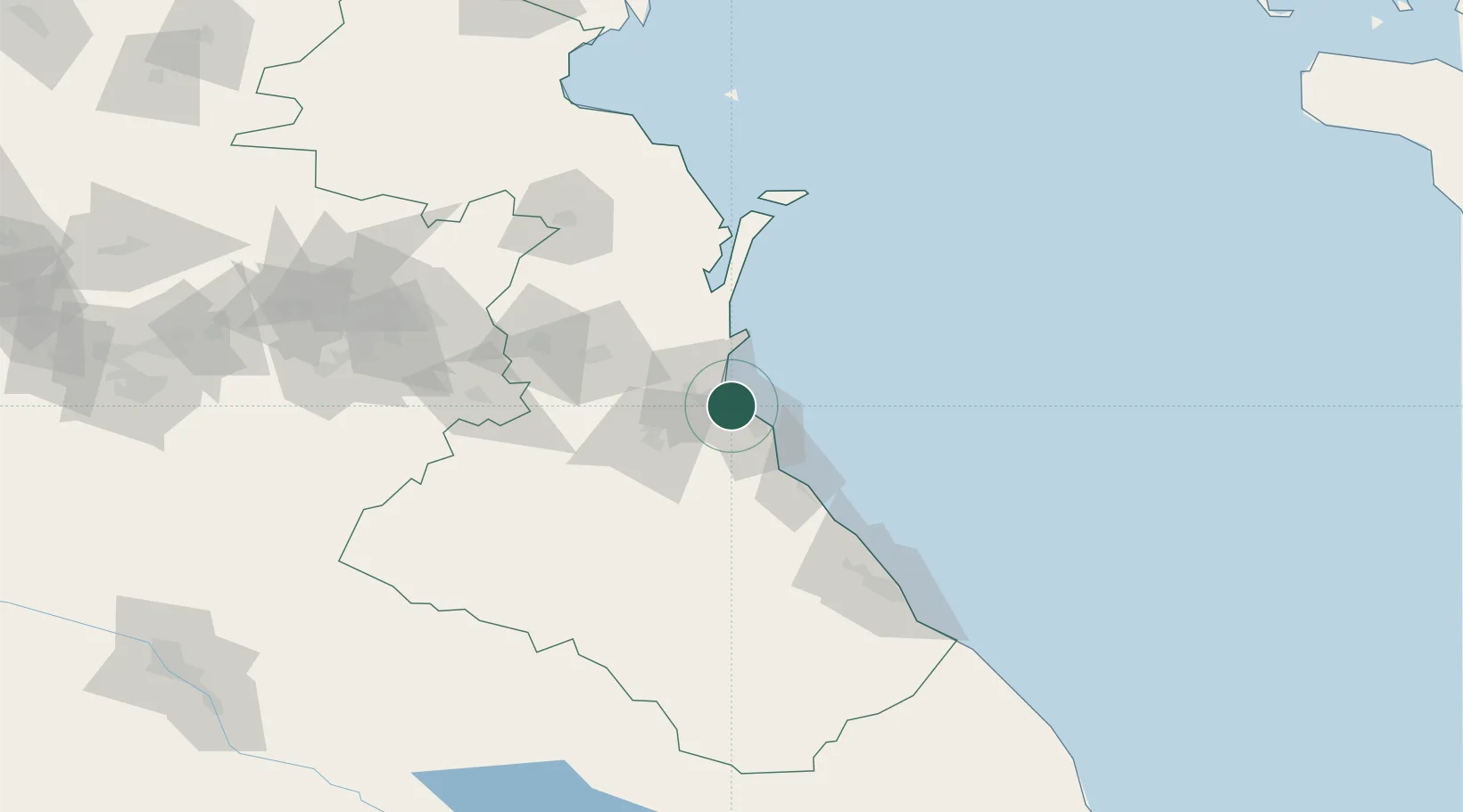
Hub Profile
Place type
Regional capital
Region
Dagestan
Population
596,356
Time zone
Europe/Moscow
Elevation
-10 m
Location
Nearby Logistics Neighbours
Ports
- 1Supsa Marine Terminal484 km
- 2Batumi503 km
- 3Sokhumi530 km
- 4Hopa531 km
- 5Rize614 km
Airports
Trade Zones
DatabookThe Record of Consolidated Knowledge
Russia beyond logistics?