Diversified Zone · South Korea
BitGreen Industrial Complex Under Development
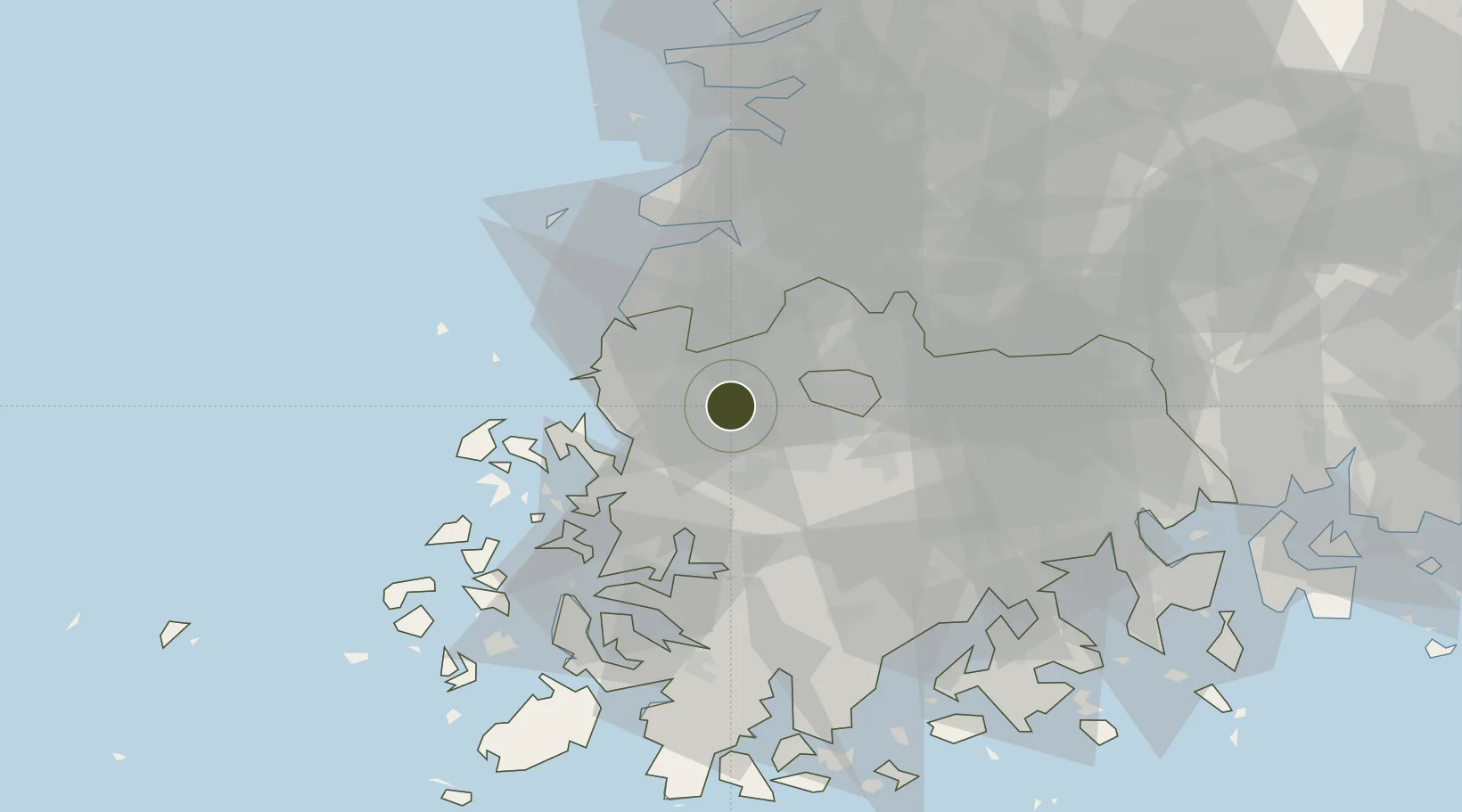
35.1738°, 126.6702°
407 ha
Zone area
50.7 km
Nearest port
13.5 km
Nearest airport
Gateway access
Zone profile
Zone type
Diversified Zone
Region
South Jeolla
Status
Under Development
Management
Public-Private Partnership
Operator
Korea Land and Housing Corporation
Legal framework
Special Act On Designation And Management Of Free Economic Zones Expand Act No. 15309, Dec. 26, 2017, Foreign Investment Promotion Act: Expand Act No. 16131, Dec. 31, 2018.
Location
Nearby Logistics Neighbours
Ports
- 1Mokpo51 km
- 2Kunsan90 km
- 3Gwangyang Hang103 km
- 4Masan172 km
- 5Chinae180 km
Airports
- 1Gwangju Airport14 km
- 2Muan International Airport33 km
- 3Gunsan Airport / Gunsan Air Base81 km
- 4Yeosu Airport94 km
- 5Sacheon Airport / Sacheon Air Base128 km
Cities
- 1Gwangju12 km
- 2Naju18 km
- 3Jangseong/Jangseong-gun18 km
- 4Yeonggwang-gun19 km
- 5Gochang-gun29 km
DatabookThe Record of Consolidated Knowledge
South Korea beyond logistics?