Transport Functions
Rail
Road
Hub Profile
Region
46
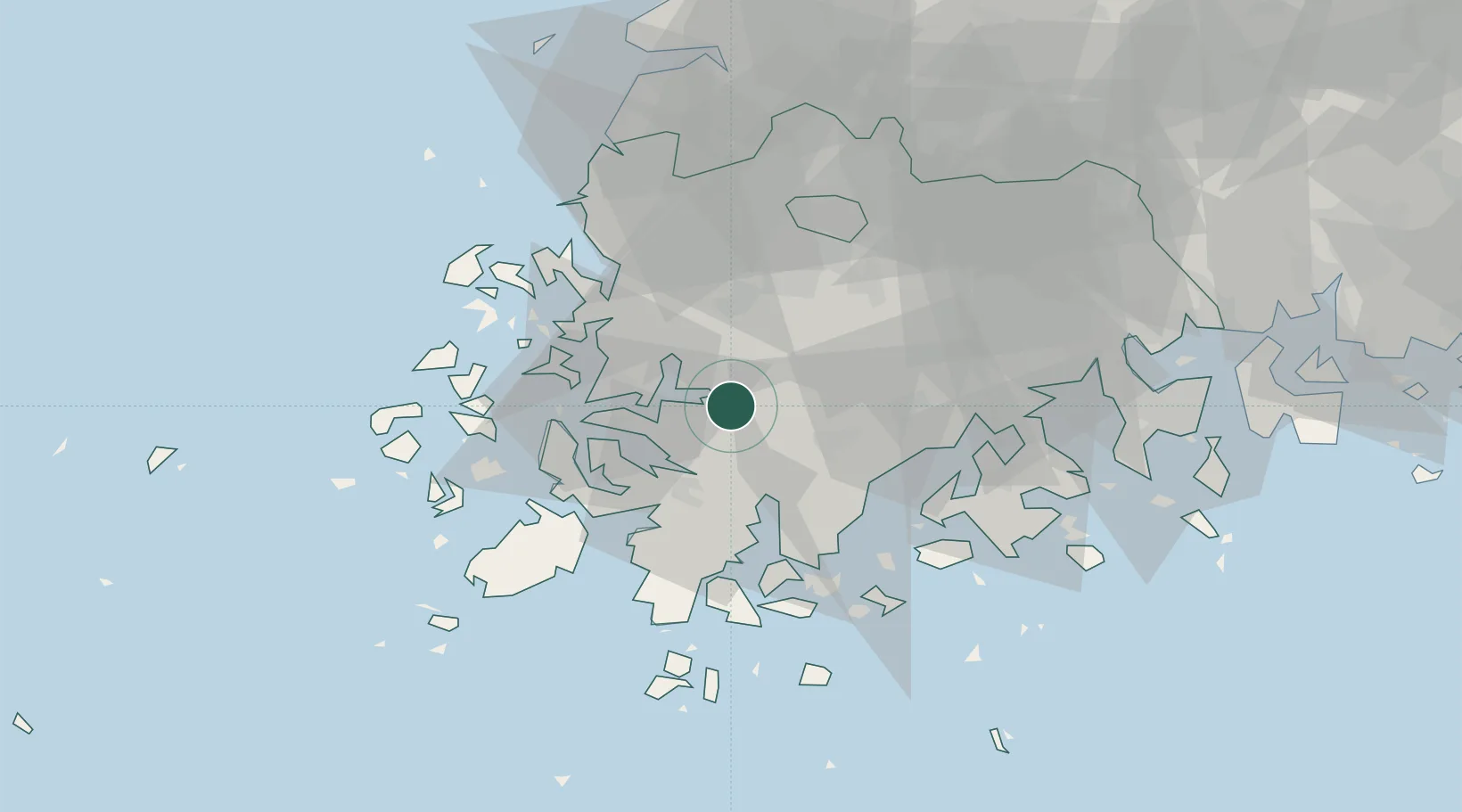
Location
Nearby Logistics Neighbours
Cities
- 1Jangheung-gun22 km
- 2Daebul/Yeongam-gun25 km
- 3Naju26 km
- 4Mokpo29 km
- 5Sinan-gun30 km
Ports
- 1Mokpo29 km
- 2Gwangyang Hang97 km
- 3Kunsan134 km
- 4Masan176 km
- 5Chinae182 km
Airports
- 1Muan International Airport37 km
- 2Gwangju Airport39 km
- 3Yeosu Airport84 km
- 4Gunsan Airport / Gunsan Air Base125 km
- 5Sacheon Airport / Sacheon Air Base130 km
DatabookThe Record of Consolidated Knowledge
South Korea beyond logistics?